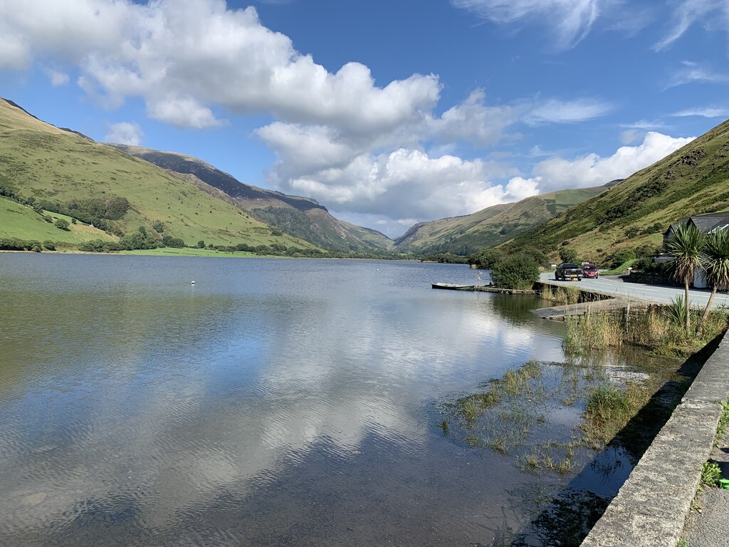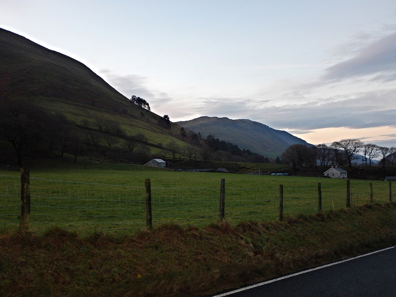
The A487 near Furnace, with hills above the road

Routes / Mid Wales

The A487 by the Dyfi

Driving road A487 Aberystwyth to Machynlleth

Distance18.8mi
Drive time40min
Summit136m
Total climb508m
Limits30–60mph
RegionMid

Driving road Built for driving: well surfaced and rewarding behind the wheel.

The A487 north from Aberystwyth is the road to Machynlleth, 18.8 miles on our line, and the first leg of the main road up the west of Wales. It is a trunk road with a good surface: it climbs out of Aberystwyth past Comins Coch to 136 m, the highest point on our line, then runs north through the villages at the foot of the hills to the Dyfi valley and Machynlleth.

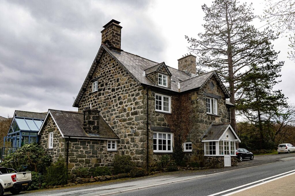
Tal-y-bont, roughly midway, sits at the foot of Ceulan Maes-mawr where the Leri and the Ceulan meet, with old silver and lead mines and woollen mills around it and two pubs, Y Llew Gwyn and Y Llew Du. Further on, Furnace takes its name from the Dyfi Furnace, which made pig iron with charcoal from the 1750s into the 19th century. At Eglwys Fach the poet R. S. Thomas was vicar of St Michael’s from 1954 to 1967, and just outside the village is Ynyshir, Gareth Ward’s restaurant with rooms and two Michelin stars.

The road comes into Machynlleth past Plas Dolguog. Owain Glyndŵr held his parliament here in 1404, and the town still calls itself the ancient capital of Wales, though the title has never been official. The clock tower at the crossroads is the middle of town, the Wednesday market goes back to a medieval royal charter, MoMA Machynlleth is the gallery, and the Centre for Alternative Technology is in an old quarry three miles away.

Three of our roads start in Machynlleth: the Cambrian coast to Dolgellau by Aberdyfi, the mountain road over Dylife to Llanidloes, and the A489 and A470 over Talerddig to Newtown. At the Aberystwyth end, the A44 over Pumlumon and the Rheidol road by Devil’s Bridge head inland. Stay at Gwesty Cymru or the Marine on the seafront.

Good to know

  1. 01
    A main road with lorries, buses and, in summer, caravans. Overtake only where it’s clear.
  2. 02
    Machynlleth’s Wednesday market makes the town centre busy, so allow time.
  3. 03
    Ynyshir is booked well ahead: reserve before you set off.
  4. 04
    The A487 is a trunk road, so closures and roadworks are on Traffic Wales.

Photo: A487 Near Furnace – geograph.org.uk – 5230977 by James Emmans, CC BY-SA 2.0
The climb

3 m to 136 m · summit at 1.2 mi
Start · 0 miFinish · 18.8 mi

Up top today

Forecast at the summit, 136 m · updated 04:21
Take care

Rain on the top

Drive it, but take the high section gently.

Now
Heavy rain
Air
8°C
Wind
16mph SW
Road
Wet
Golden hour · This morning

07:20to08:40

Sunrise 07:50 · Likely lost in cloud
  1. Today Take care 8–9°C · wind to 21 mph · 15 mm rain · rain
  2. Tomorrow Take care 6–10°C · wind to 13 mph · 4 mm rain · rain
  3. Friday Good day 6–7°C · wind to 14 mph · dry · damp roads

Forecast from MET Norway, refreshed hourly. Mountain weather turns fast: check before you set off.

The live map

Turns, cameras, viewpoints and stops along the road

Quick answers

How long is The A487 by the Dyfi?
The A487 by the Dyfi is 18.8 miles from Aberystwyth to Machynlleth and takes about 40 minutes to drive without stopping.
How high does The A487 by the Dyfi go?
It reaches 136 metres (446 feet) at its highest point, with 508 metres of climbing along the way.
What is the speed limit on The A487 by the Dyfi?
Limits along the route are 30–60 mph. Always follow the signs on the road, as Welsh limits can change.
What kind of car suits The A487 by the Dyfi?
We class it as a Driving road. Built for driving: well surfaced and rewarding behind the wheel.
Where should I stay near The A487 by the Dyfi?
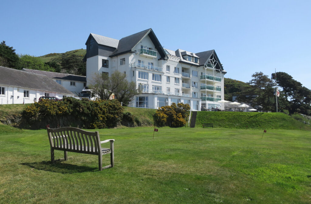
The graded hotels we would choose near this road are The Trefeddian Hotel, Aberdyfi, Dolffanog Fawr and Cross Foxes.
How long is the A487 from Aberystwyth to Machynlleth?
Our line is 18.8 miles, about 40 minutes of driving without stops.
What is there to see on the A487 to Machynlleth?
Tal-y-bont with its old mines and two pubs, the 18th-century Dyfi Furnace at Furnace, and Eglwys Fach, where R. S. Thomas was vicar from 1954 to 1967.
Why is Machynlleth called the ancient capital of Wales?
Owain Glyndŵr held his parliament in the town in 1404. The title has never had official recognition.
Where can I eat on the way?
Ynyshir at Eglwys Fach has two Michelin stars and needs booking well ahead. SY23 is in Aberystwyth at the start of the road.

Graded hotels within easy reach of the road, the four and five stars first.

Stop along the way

All stops on the map →
Postman on his round in the mountains between Tregaron and Abergwesyn (1451106)
Next road · Mid Wales

The Abergwesyn Pass and Devil’s Staircase

Llanwrtyd Wells to Tregaron · 19.1 mi Drive it next →