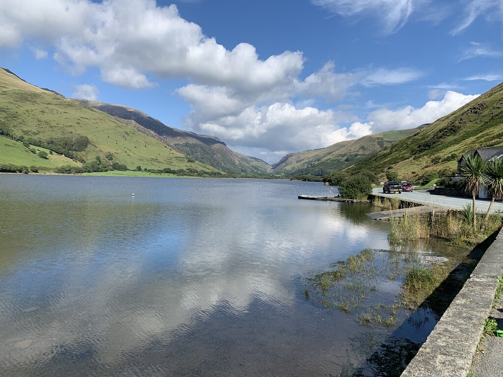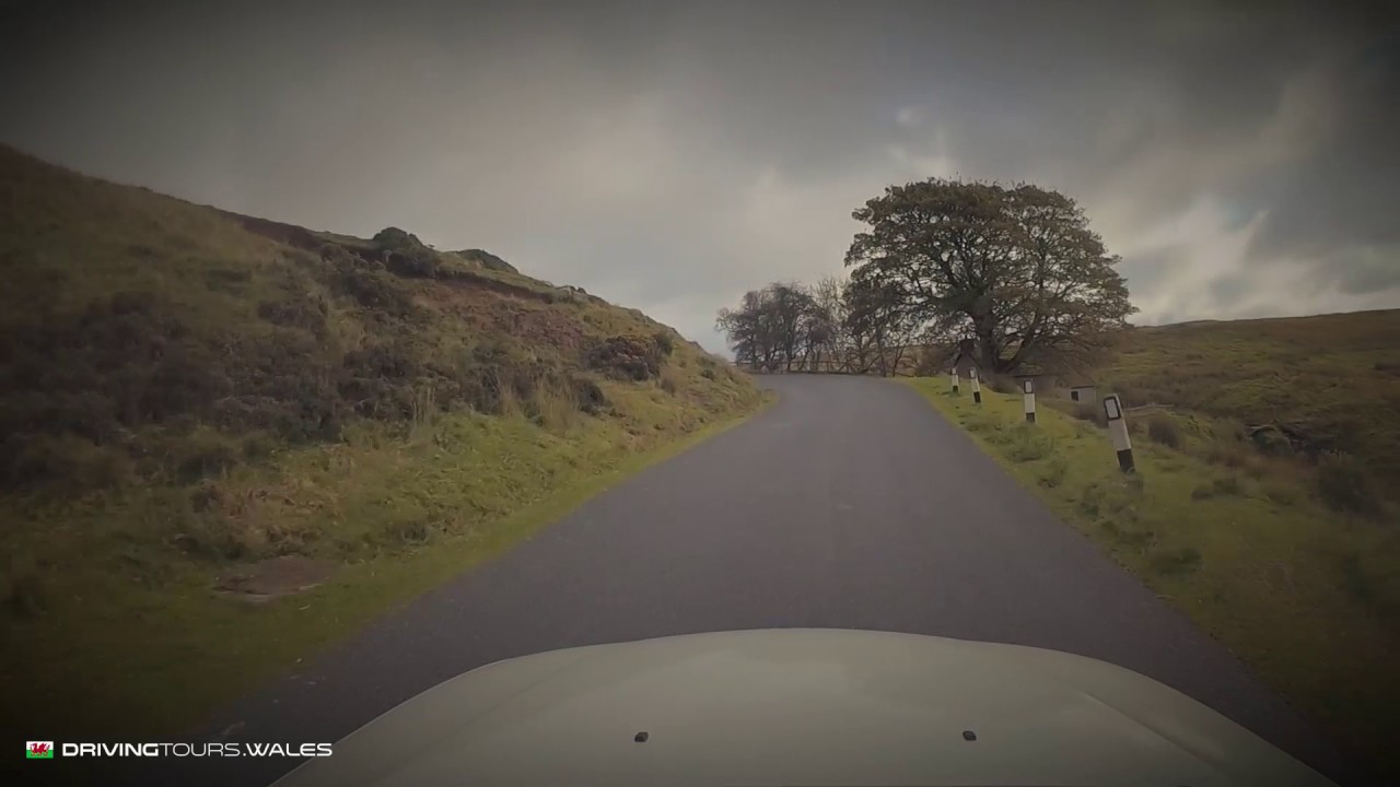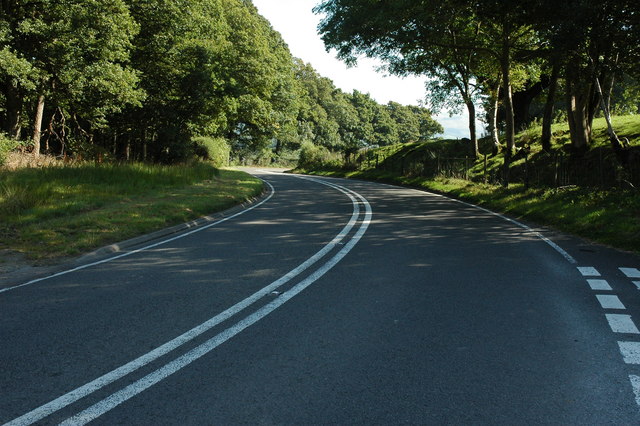
This is the fast way east from Machynlleth to Newtown, 31.8 miles on our line: the A489 out of Machynlleth to join the A470, the A470 up the Twymyn valley and over the pass at Talerddig, then the A489 again from Caersws into Newtown. It is a main road, wide and well surfaced with long sweeping stretches, and on our line it reaches 223 m at the top of the pass. The highest point of the line, 287 m, is at the very end, where the road climbs out of Newtown towards Dolfor to meet the A483.
Llanbrynmair, where the Twymyn, the Iaen and the Rhiw Saeson meet, is reputed to have sent more emigrants per head to America than any other parish in Wales, from 1796 onwards, many of them to western Ohio. Above it is Talerddig. The railway climbs the pass beside the road, and its cutting here was 120 feet deep, the deepest in the world when it was finished in 1862.
Down the far side the road follows the Afon Carno to Carno, where Bernard and Laura Ashley moved in 1961 and the company’s first factory stood beside the station. A Roman fort, Gaer Noddfa, lies next to the churchyard. At Caersws on the Severn, the site of two Roman forts, the A470 turns south for Llanidloes and the A489 carries on east to Newtown.
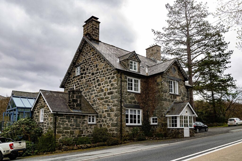
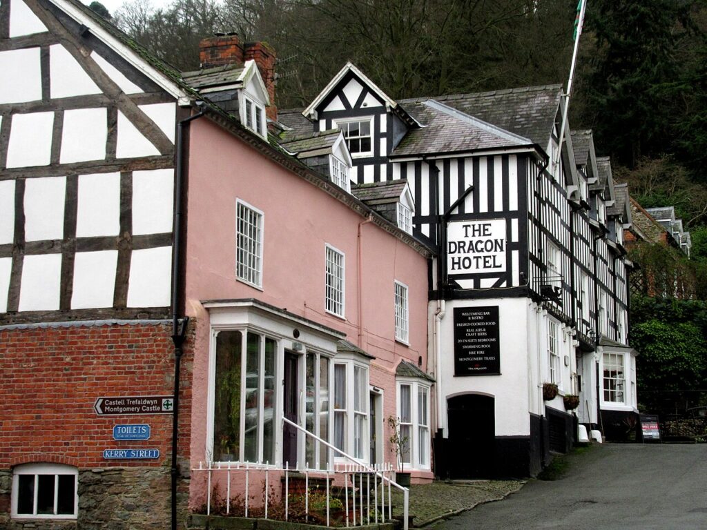
From Machynlleth, the A487 runs south to Aberystwyth, the Cambrian coast road goes north to Dolgellau, and the mountain road over Dylife is the slow, high way to Llanidloes. At Newtown, the A483 runs south through the Ithon valley to Crossgates, and the B4355 over Kerry Hill is close by. Stay at Plas Dolguog outside Machynlleth or the Elephant & Castle in Newtown.
Good to know
- 01A main road with lorries. Overtake only where it’s clear.
- 02At Caersws the A470 and A489 split: follow the A489 for Newtown.
- 03The A470 is a trunk road, so closures and roadworks are on Traffic Wales.
Photo: A470 east of Carno – geograph.org.uk – 1588756 by Philip Halling, CC BY-SA 2.0