Over the Epynt ranges: Halfway to Tirabad

Routes / Mid Wales

Over the Epynt ranges

Driving road Halfway to Tirabad

Distance6.8mi
Drive time15min
Summit440m
Total climb155m
Limits30–60mph
RegionMid

Driving road Built for driving: well surfaced and rewarding behind the wheel.

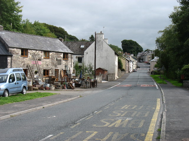
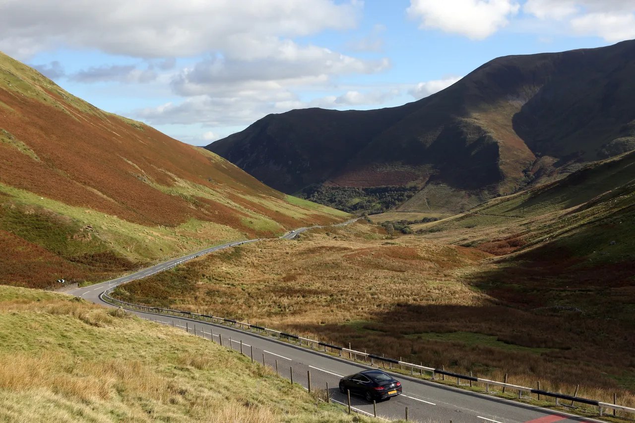
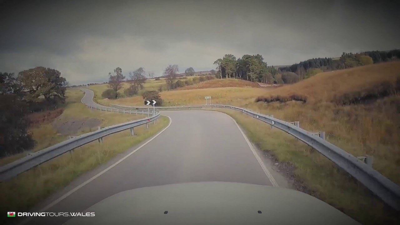
This road over the Epynt ranges doesn’t have a name or a number. It’s owned by the military and runs through the ranges on the Epynt near the famous Halfway rally stages, climbing from the A40 near Halfway, east of Llandovery, over the open moor and down to Tirabad. Our 6.8 mile line tops out at 440 m on Mynydd Epynt, a plateau that sits at roughly 400 to 450 m.

The best part: it’s quiet. You rarely see another car, but heavy machinery and troop carriers are usually about. The surface is beautifully maintained and there’s a mixture of humps and open corners, the road cresting and dropping across the moor with long views over the ranges.

The land either side is the Sennybridge Training Area, the third largest military training area in the UK, some 12,500 hectares owned by the Ministry of Defence. It was a farming community until 1940, when 54 farms and a pub were cleared so the army could train here, and the old trackways over the mountain were closed. The roads that survive are the way to see it. We take it north, from the A40 to Tirabad, so the climb onto the moor comes first.

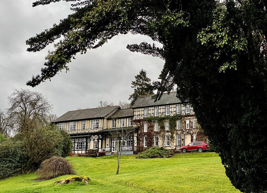
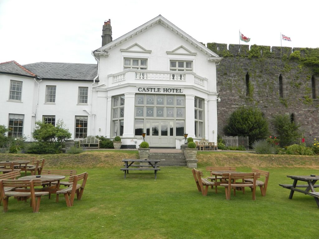
From Tirabad, part two of the range road carries on to Garth on the A483, and together they make a full crossing of the Epynt. On the A40 below, the run down Cwm Gwydderig takes you to Llandovery, where the West End Café is the bikers’ stop. The Castle Coaching Inn in Trecastle is the closest table to the start. Stay at The Lake Country House in Llangammarch Wells or the Castle of Brecon.

Good to know

  1. 01
    The road can be closed when the ranges are in use. Obey every sign, flag and barrier. Red flags by day and red lights by night mean the area is in military use.
  2. 02
    Expect army lorries and troop carriers. Give them plenty of room.
  3. 03
    The army publishes Sennybridge firing times each month, and Sennybridge Range Control can tell you what is on.
  4. 04
    Sheep graze the open moor beside the road. Do not stop or leave the road on the ranges.
  5. 05
    There is no fuel on the range. Our fuel map shows the forecourts at Llandovery and Brecon.

Filmed by Driving Tours Wales. All speed limits were observed during filming; the playback is sped up to make it more watchable. Please drive safely and within the law.
The climb

275 m to 440 m · summit at 2.7 mi
Start · 0 miFinish · 6.8 mi

Up top today

Forecast at the summit, 440 m · updated 04:21
Take care

Rain on the top

Drive it, but take the high section gently.

Now
Light rain
Air
6°C
Wind
13mph SW
Road
Wet
Golden hour · This morning

07:18to08:36

Sunrise 07:46 · Likely lost in cloud
  1. Today Take care 6–8°C · wind to 17 mph · 5 mm rain · rain
  2. Tomorrow Give it a miss 2–7°C · wind to 9 mph · 3 mm rain · thick fog
  3. Friday Good day 4–5°C · wind to 12 mph · dry

Forecast from MET Norway, refreshed hourly. Mountain weather turns fast: check before you set off.

The live map

The film, turns, cameras and stops along the road

Quick answers

How long is Over the Epynt ranges?
Over the Epynt ranges is 6.8 miles from Halfway to Tirabad and takes about 15 minutes to drive without stopping.
How high does Over the Epynt ranges go?
It reaches 440 metres (1,444 feet) at its highest point, with 155 metres of climbing along the way.
What is the speed limit on Over the Epynt ranges?
Limits along the route are 30–60 mph. Always follow the signs on the road, as Welsh limits can change.
What kind of car suits Over the Epynt ranges?
We class it as a Driving road. Built for driving: well surfaced and rewarding behind the wheel.
Where should I stay near Over the Epynt ranges?
The graded hotels we would choose near this road are The Lake Country House & Spa, Castle of Brecon Hotel and Peterstone Court Country House & Spa.
Is the military road over the Epynt open to the public?
It is open to drivers but can be closed when the ranges are in use. Red flags by day or red lights by night show military use, so obey every sign, flag and barrier.
Where does the Epynt range road from Halfway go?
It climbs from the A40 near Halfway, east of Llandovery, over the open moor of Mynydd Epynt and down to Tirabad, where part two continues to Garth.
How high is the road over the Epynt?
Our 6.8 mile line from Halfway to Tirabad tops out at 440 m.
Why is the Epynt a military range?
The land was taken for army training in 1940, when residents of 54 farms and a pub were evicted. It is now the Sennybridge Training Area.

Read more about this road

The Logbook →

Graded hotels within easy reach of the road, the four and five stars first.

Stop along the way

All stops on the map →
The A470 at Bwlch yr Oerddrws
Next road · Mid Wales

Tal-y-llyn and Bwlch Oerddrws

Tywyn to Dinas Mawddwy · 22.7 mi Drive it next →