Bwlch Penbarras, also known as the Old Bwlch, is the pass that splits the Clwydian Range between Moel Famau and Foel Fenlli. Our 5.5 mile line runs from Ruthin over the pass to the A494 at Tafarn-y-Gelyn and tops out at 360 m, the height of the gap itself. It is brief, but few roads in the north east pack in so much height and so much view.
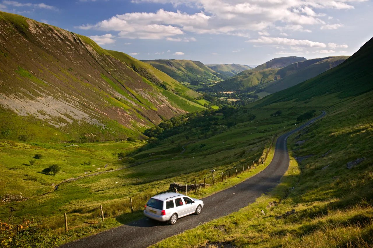
The road over the top is an unclassified lane on the old route between Mold and Ruthin, superseded in the 18th century by the turnpike that became the A494. From Ruthin it crosses the Vale of Clwyd to Llanbedr Dyffryn Clwyd, and then the climb is the event. The western side drops 260 m in 1.5 miles, with gradients approaching 25% and a sharp hairpin, narrow and walled in places, with the vale opening out behind you as the gradient bites.
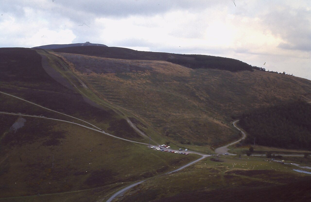
Offa’s Dyke Path crosses the road at the summit, where the car park is the easiest way up Moel Famau. Its Jubilee Tower was begun in 1810 for the golden jubilee of George III and never finished. The eastern side is an almost straight descent with no severe gradients, dropping through farmland and forestry towards Loggerheads to meet the A494 at Tafarn-y-Gelyn. We drive it this way, west to east, so the hard work and the view both come on the climb.
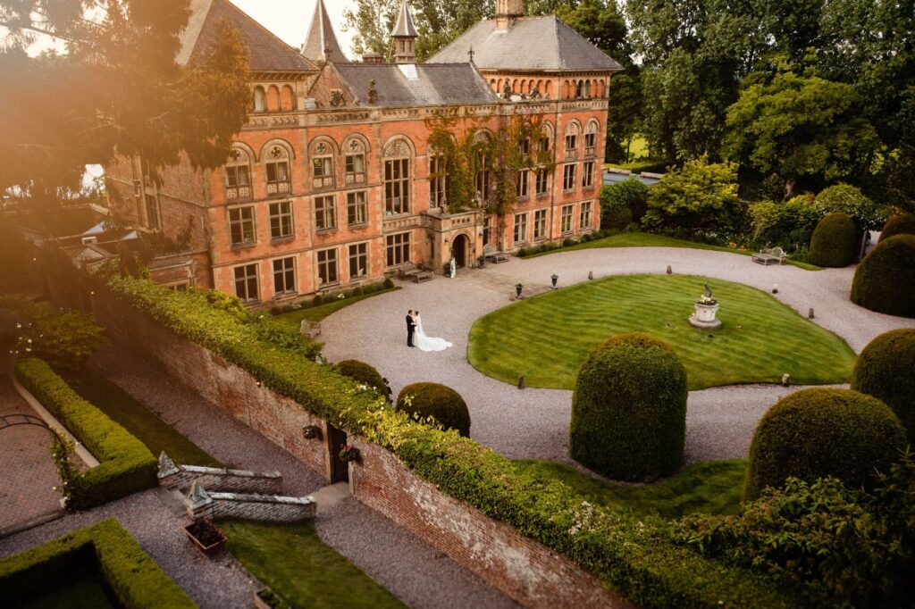
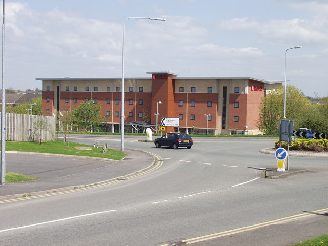
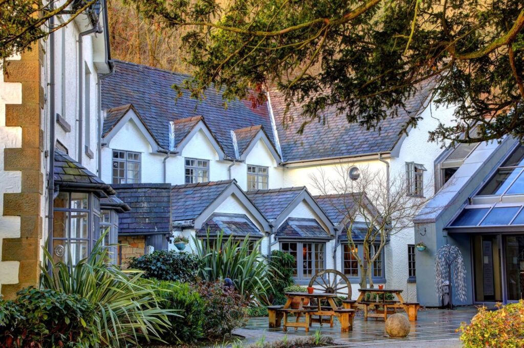
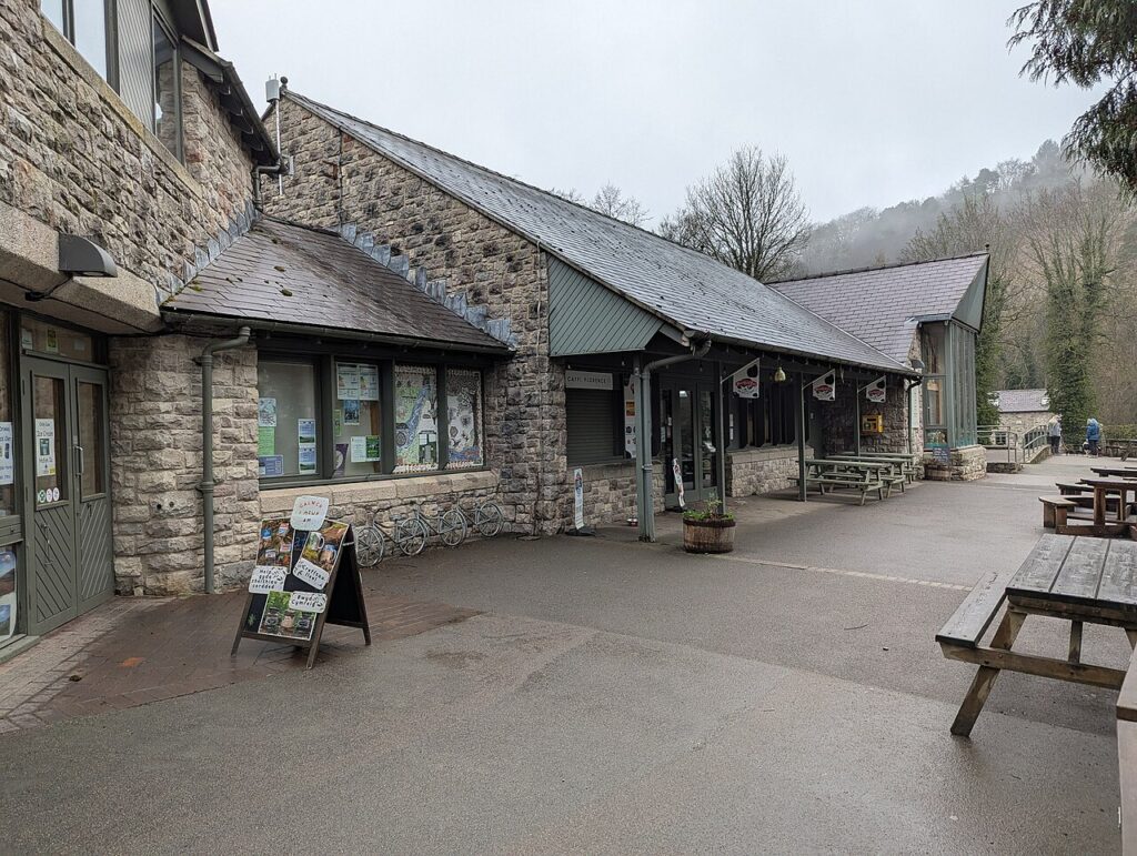
Start with coffee at the Chain & Sprocket Café on the edge of Ruthin and finish at Tŷ’r Felin, the café in Loggerheads Country Park. Stay at Soughton Hall at Northop or The Wild Pheasant in Llangollen, which puts the Horseshoe Pass on the doorstep.
Good to know
- 01Sections near the summit are single track with passing places, so give way early to oncoming traffic.
- 02There are two Natural Resources Wales car parks, one at the summit and one a mile down the eastern side. Both fill quickly on fine weekends, and the Clwydian Range AONB sells an annual permit for the Moel Famau forest car parks.
- 03The western climb is a known test for cyclists. Give them room on the steep section.
- 04Low, stiff cars will find the steep, broken edges on the Llanbedr side tiresome. This is a road for something supple.
- 05It is a county road, so closures come from Denbighshire County Council, not Traffic Wales.
Photo: Bwlch Penbarras – geograph.org.uk – 1943604 by Glen Denny, CC BY-SA 2.0