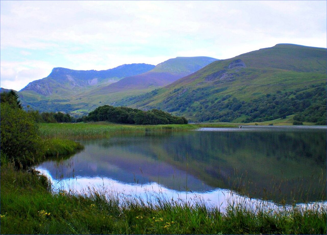
Llyn Nantlle Uchaf - geograph.org.uk - 2032615

Routes / North Wales

The Nantlle valley

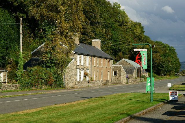
Scenic road B4418 Penygroes to Beddgelert

Distance10.8mi
Drive time20min
Summit247m
Total climb268m
Limits30–50mph
RegionNorth

Scenic road Slower, narrower and more scenic. Rough in places, so not the best for low, stiff performance cars.

The Nantlle valley road is the B4418, Dyffryn Nantlle in Welsh, climbing from Penygroes through old slate country to Rhyd Ddu under Yr Wyddfa. Our 10.8 mile line runs from Penygroes to Beddgelert and tops out at 247 m, finishing on the A4085 beside Llyn y Gader.

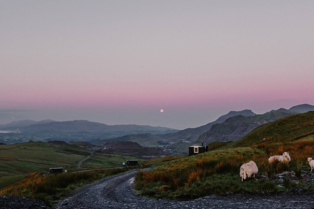
Few roads offer a better framed view of Yr Wyddfa than the one across Llyn Nantlle Uchaf. Richard Wilson painted it around 1765, and his Snowdon from Llyn Nantlle is one of the best known Welsh landscapes. The valley floor below is scarred and fascinating. The horse-drawn Nantlle Railway carried slate here from 1828 until 1963, and the valley is the main setting of the Fourth Branch of the Mabinogi. In the Middle Ages it was a hunting park for the royal family of Gwynedd, and after 1282 one of the first recorded jousts in Britain was held at Baladeulyn, between the two lakes.

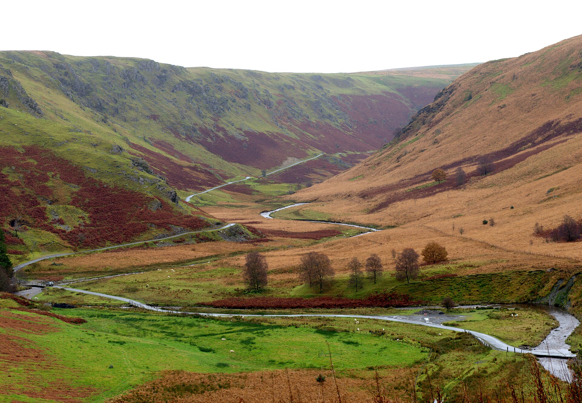
Close to the road at Talysarn is Dorothea quarry, its flooded pits more than 100 m deep. Beyond the village of Nantlle the road narrows and threads between crags at Drws-y-Coed before emerging at Rhyd Ddu, birthplace of the poet T. H. Parry-Williams, where the Welsh Highland Railway runs alongside. The final miles on the A4085 are wider and faster, dropping through woodland into Beddgelert.

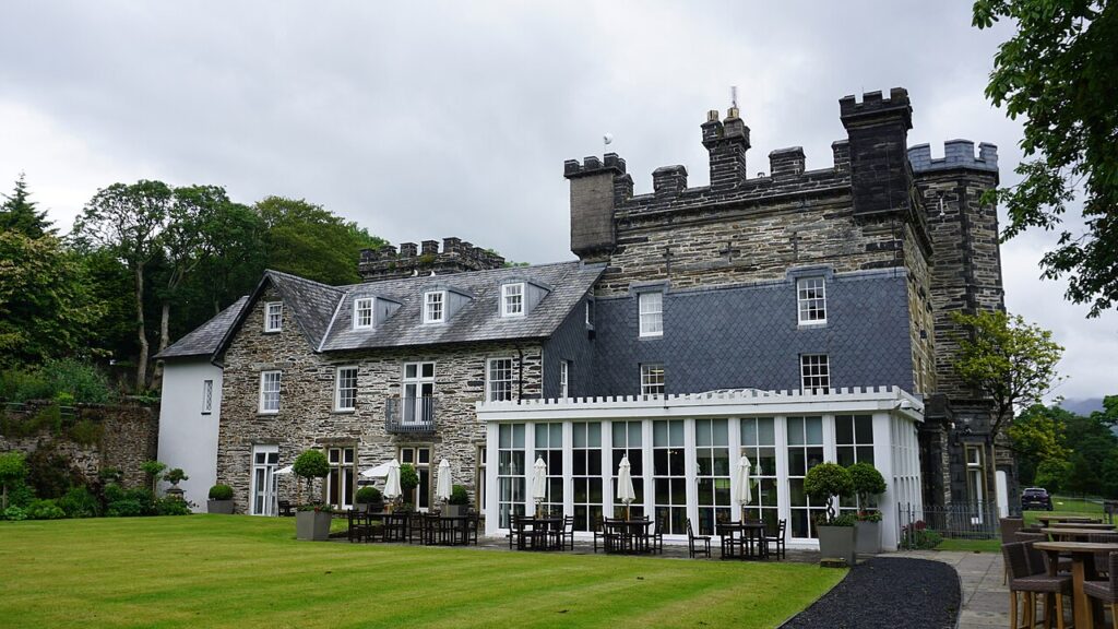
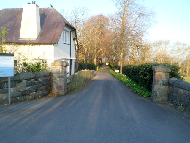
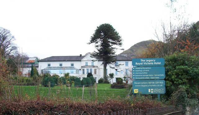
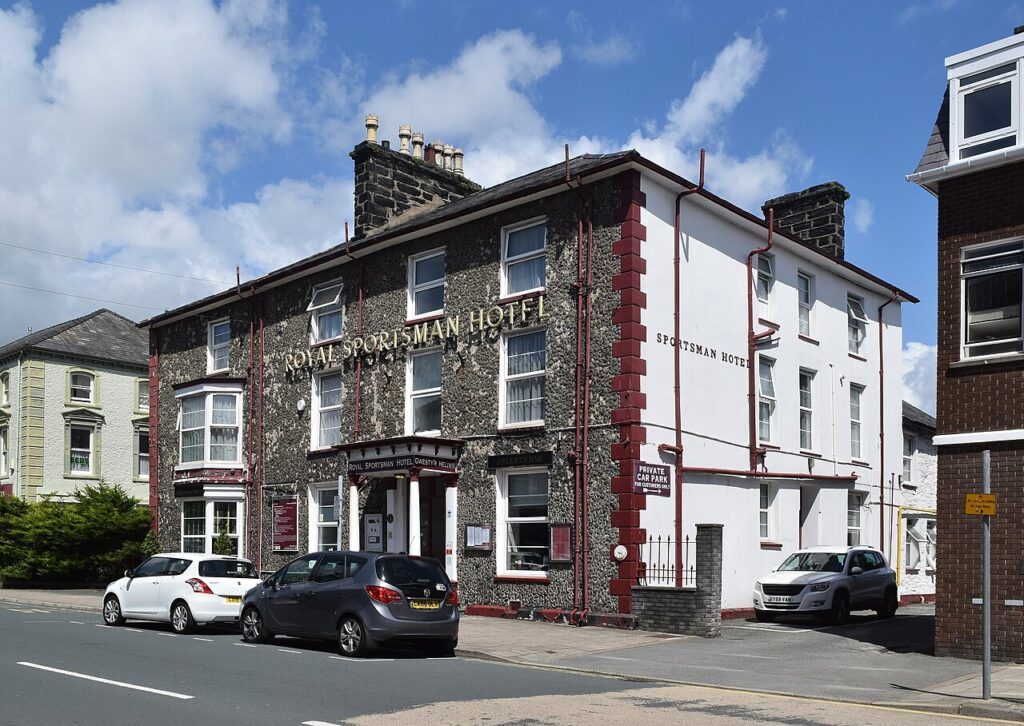
We would drive it in this direction, so that Yr Wyddfa grows ahead of you over the lakes. Stay at the Royal Sportsman Hotel in Porthmadog or Plas Weunydd in Blaenau Ffestiniog, and dine at The Gunroom at Plas Dinas. From Beddgelert, Nant Gwynant and the Aberglaslyn Pass make the natural second half, and the Llanberis Pass is close by.

Good to know

  1. 01
    The B4418 through Drws-y-Coed is narrow, with stone walls tight to the tarmac. Take it slowly.
  2. 02
    Rhyd Ddu is the start of the Rhyd Ddu Path up Snowdon, and its car park is busy from early morning in summer.
  3. 03
    Dorothea quarry is not a place to swim. Diving there is licensed and strictly limited to qualified divers.
  4. 04
    The B4418 is a county road, so closures come from Gwynedd Council rather than Traffic Wales, which covers trunk roads.
  5. 05
    Pair it with the Nant Gwynant and Aberglaslyn route from Beddgelert for a full afternoon.

Photo: Llyn Nantlle Uchaf – geograph.org.uk – 2032615 by Tom Gaunt, CC BY-SA 2.0
The climb

38 m to 247 m · summit at 6.0 mi
Start · 0 miFinish · 10.8 mi

Up top today

Forecast at the summit, 247 m · updated 04:21
Take care

Rain on the top

Drive it, but take the high section gently.

Now
Light rain showers
Air
6°C
Wind
8mph S
Road
Wet
Golden hour · This morning

07:22to08:44

Sunrise 07:54 · Likely lost in cloud
  1. Today Take care 6–9°C · wind to 13 mph · 5 mm rain · rain
  2. Tomorrow Good day 3–8°C · wind to 12 mph · dry
  3. Friday Good day 4–7°C · wind to 11 mph · dry

Forecast from MET Norway, refreshed hourly. Mountain weather turns fast: check before you set off.

The live map

Turns, cameras, viewpoints and stops along the road

Quick answers

How long is The Nantlle valley?
The Nantlle valley is 10.8 miles from Penygroes to Beddgelert and takes about 20 minutes to drive without stopping.
How high does The Nantlle valley go?
It reaches 247 metres (810 feet) at its highest point, with 268 metres of climbing along the way.
What is the speed limit on The Nantlle valley?
Limits along the route are 30–50 mph. Always follow the signs on the road, as Welsh limits can change.
What kind of car suits The Nantlle valley?
We class it as a Scenic road. Slower, narrower and more scenic. Rough in places, so not the best for low, stiff performance cars.
Where should I stay near The Nantlle valley?
The graded hotels we would choose near this road are Royal Sportsman Hotel, Castell Deudraeth and Plas Weunydd.
Where is the Nantlle valley?
The Nantlle valley, Dyffryn Nantlle, lies in Gwynedd between Penygroes and Rhyd Ddu, on the western side of Yr Wyddfa. The B4418 runs its length.
What is the famous view of Snowdon from Nantlle?
It is the view east across Llyn Nantlle Uchaf to Yr Wyddfa, painted by Richard Wilson around 1765 to 1766 as Snowdon from Llyn Nantlle. The main version hangs in the Walker Art Gallery in Liverpool.
Can you swim in Dorothea quarry?
No. The flooded pits are over 100 m deep and diving is only allowed under licence for suitably qualified divers through a local club.
Where does the B4418 meet the Beddgelert road?
At Rhyd Ddu, 4 miles north of Beddgelert, where the B4418 joins the A4085. Rhyd Ddu also has a Welsh Highland Railway station and the start of the Rhyd Ddu Path up Snowdon.

Read more about this road

The Logbook →

Graded hotels within easy reach of the road, the four and five stars first.

Stop along the way

All stops on the map →
Abergwesyn Mountain Pass
Next road · Mid Wales

A Cambrian Mountains loop

Tregaron, Llyn Brianne and Llandovery · 61.1 mi Drive it next →