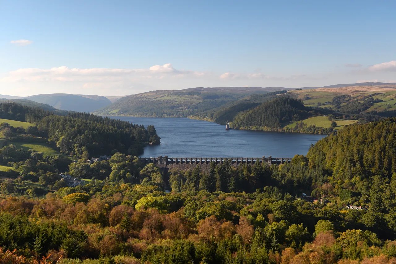
Lake Vyrnwy from Glyndŵr's Way

Routes / Mid Wales

Lake Vyrnwy

Scenic road B4393 Llanfyllin to Llanwddyn

Distance18.2mi
Drive time35min
Summit337m
Total climb500m
Limits30–60mph
RegionMid

Scenic road Slower, narrower and more scenic. Rough in places, so not the best for low, stiff performance cars.

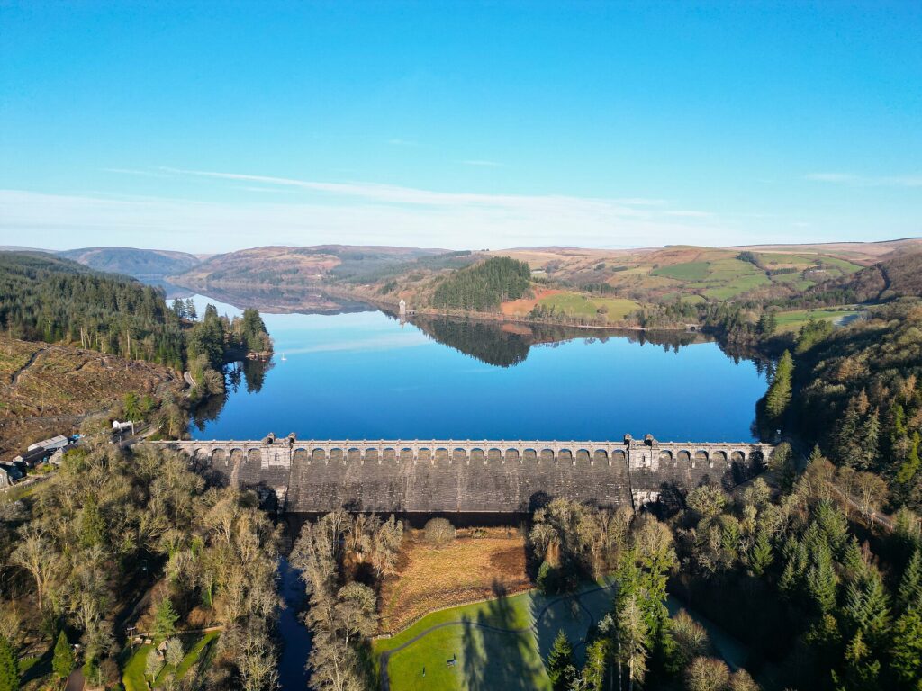
Lake Vyrnwy, Llyn Efyrnwy in Welsh, is the Victorian reservoir in the hills of north Powys, and the B4393 is the road that takes you there and all the way round it. Our 18.2 mile line runs from Llanfyllin up the Vyrnwy valley to Llanwddyn and the great stone dam, and tops out at 337 m. The lake was built in the 1880s to supply Liverpool with water.

The approach is a pleasant, flowing valley road, but the circuit is the reason to come: a road goes all the way round the lake, about 12 miles of narrow lane hugging the shoreline beneath conifer and oak. The dam itself carries the road across its top and was the first large stone-built dam in the United Kingdom. On the north shore the gothic straining tower, with its green copper roof, is one of the most photographed buildings in Wales.

At the head of the lake the road crosses the inflowing streams before returning along the far side to the dam. The original village of Llanwddyn lies beneath the water; its church, chapels, three inns and 37 houses were demolished, and the present village was built below the dam to replace it.

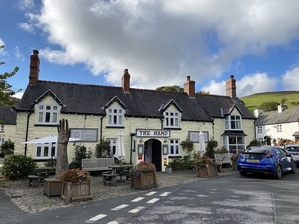
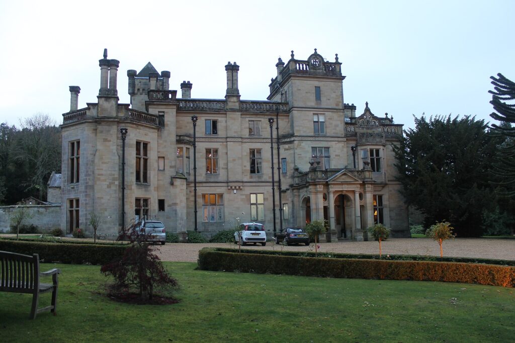
Stay at the Lake Vyrnwy Hotel above the water, and book The Tower, its restaurant looking down the lake. Palé Hall near Bala and The Hand at Llanarmon are the other houses in reach. From the head of the lake, Bwlch y Groes and Milltir Gerrig are the obvious next roads.

Good to know

  1. 01
    The lakeside road is single track in places and popular with walkers; keep speeds low and give cyclists room.
  2. 02
    The dam carries the road across and offers parking and a café at the Llanwddyn end. The RSPB says the car parks are run by Hafren Dyfrdwy, with toilets at the western end of the dam.
  3. 03
    The lake and its woods are an RSPB nature reserve, open all year.
  4. 04
    The B4393 is a county road, so closures come from Powys County Council, not Traffic Wales.
  5. 05
    Fuel is thin on the ground in these hills; our fuel map shows the nearest forecourts.

Photo: Lake Vyrnwy from Glyndŵr's Way, © Crown copyright, Visit Wales
The climb

122 m to 337 m · summit at 7.2 mi
Start · 0 miFinish · 18.2 mi

Up top today

Forecast at the summit, 337 m · updated 04:22
Take care

Rain on the top

Drive it, but take the high section gently.

Now
Light rain
Air
6°C
Wind
11mph SW
Road
Wet
Golden hour · This morning

07:18to08:40

Sunrise 07:50 · Likely lost in cloud
  1. Today Take care 6–8°C · wind to 15 mph · 3 mm rain · rain
  2. Tomorrow Give it a miss 4–6°C · wind to 11 mph · dry · thick fog
  3. Friday Good day 2–5°C · wind to 13 mph · dry · frost in the shade

Forecast from MET Norway, refreshed hourly. Mountain weather turns fast: check before you set off.

The live map

Turns, cameras, viewpoints and stops along the road

Quick answers

How long is Lake Vyrnwy?
Lake Vyrnwy is 18.2 miles from Llanfyllin to Llanwddyn and takes about 35 minutes to drive without stopping.
How high does Lake Vyrnwy go?
It reaches 337 metres (1,106 feet) at its highest point, with 500 metres of climbing along the way.
What is the speed limit on Lake Vyrnwy?
Limits along the route are 30–60 mph. Always follow the signs on the road, as Welsh limits can change.
What kind of car suits Lake Vyrnwy?
We class it as a Scenic road. Slower, narrower and more scenic. Rough in places, so not the best for low, stiff performance cars.
Where should I stay near Lake Vyrnwy?
The graded hotels we would choose near this road are Lake Vyrnwy Hotel, The Hand at Llanarmon and Palé Hall.
How long is the road around Lake Vyrnwy?
The lake has a perimeter of about 12 miles (19 km), with a road that runs all the way round it.
What is the Welsh name for Lake Vyrnwy?
It is Llyn Efyrnwy, sometimes also called Llyn Llanwddyn after the village drowned beneath it.
Why was Lake Vyrnwy built?
It was built in the 1880s for Liverpool Corporation to supply Liverpool with fresh water. The dam was finished in 1888 and was the first large stone-built dam in the UK.
Where do you park at Lake Vyrnwy?
There is parking near the dam at the Llanwddyn end. The car parks are owned and managed by Hafren Dyfrdwy, and some charge.

Read more about this road

The Logbook →

Graded hotels within easy reach of the road, the four and five stars first.

Stop along the way

All stops on the map →
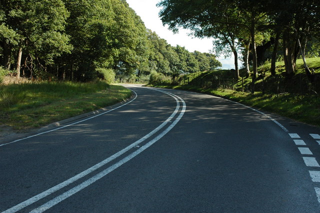
The A470 east of Carno, curving between trees
Next road · Mid Wales

Over Talerddig

Machynlleth to Newtown · 31.8 mi Drive it next →