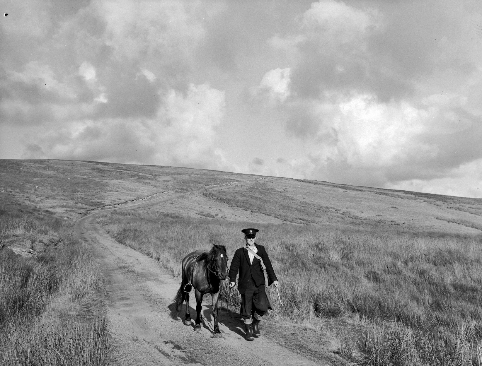
Postman on his round in the mountains between Tregaron and Abergwesyn (1451106)

Routes / Mid Wales

The Abergwesyn Pass and Devil’s Staircase

Scenic road Llanwrtyd Wells to Tregaron

Distance19.1mi
Drive time40min
Summit481m
Total climb796m
Limits30–50mph
RegionMid

Scenic road Slower, narrower and more scenic. Rough in places, so not the best for low, stiff performance cars.

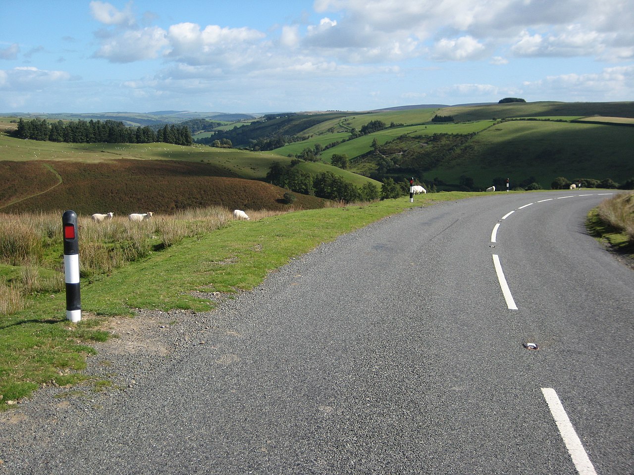
The Abergwesyn Pass is 19.1 miles of mostly single-track road over the Cambrian Mountains, from Llanwrtyd Wells to Tregaron, with the Devil’s Staircase hairpins in the middle. It reaches 481 m and climbs 796 m along the way, and it has more climb than many longer roads in our collection. Drovers once walked cattle this way from Tregaron to the English markets.

Published gradients for the Staircase run from about 20% to 25%. We use one figure, the RAC’s 1 in 4, because it is the safest figure to choose your gear by. In practice this is a first-gear climb with a couple of tight hairpins, trees close on both sides and no run-off.

We would drive it east to west as our line does, so you go up the Staircase rather than down it. From Abergwesyn the road follows the Irfon through the common, then crosses the river three times on the valley floor before the climb. PetrolBlog’s account describes those bridges behaving like fords after heavy rain, so give it a day or two after a storm. Beyond the top there are cattle grids, bridges and long open moor into Ceredigion.

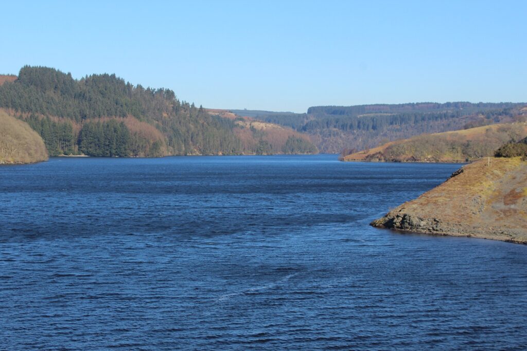
Our route data gives 40 minutes of moving time. Visit Wales allows around an hour, and that is the number we would use, because you will spend part of the road in passing places. Visit Wales also points to two diversions worth the extra time: Llyn Brianne, reached by a turning off the pass, and Soar y Mynydd, the remote chapel near it.

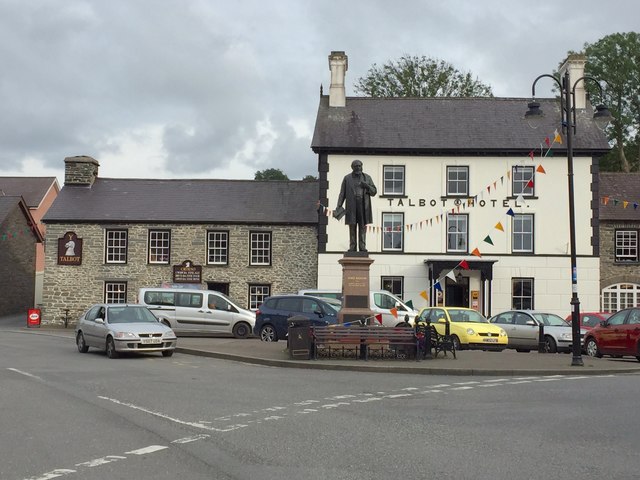
Finish in Tregaron, where Y Talbot is Michelin Guide Selected with 1 AA Rosette. The Cambrian Mountains loop covers the same hills with more time on the wider roads, and the Elan Valley mountain road is the next crossing to the north.

Good to know

  1. 01
    Single track with passing places for almost the whole way. Reverse to a passing place when you need to.
  2. 02
    The Devil’s Staircase is very steep and tight. Not suitable for caravans or trailers.
  3. 03
    Fill up before you start. Our fuel map shows Oil4Wales forecourts in Llanwrtyd Wells and Tregaron, and no services between them. The only charger near the road is in Tregaron.
  4. 04
    Do not count on phone signal. Download the GPX from this page before you leave the town.
  5. 05
    This road is not one to try on ice, and a county road like this falls to Powys and Ceredigion councils in winter, not Traffic Wales.

Photo: Postman on his round in the mountains between Tregaron and Abergwesyn (1451106) by Geoff Charles, CC BY-SA 4.0

The climb

164 m to 481 m · summit at 14.1 mi
Start · 0 miFinish · 19.1 mi

Up top today

Forecast at the summit, 481 m · updated 04:21
Take care

Rain on the top

Drive it, but take the high section gently.

Now
Light rain
Air
6°C
Wind
12mph SW
Road
Wet
Golden hour · This morning

07:18to08:38

Sunrise 07:48 · Likely lost in cloud
  1. Today Take care 6–8°C · wind to 17 mph · 6 mm rain · rain
  2. Tomorrow Give it a miss 4–7°C · wind to 11 mph · 4 mm rain · thick fog
  3. Friday Take care 4–5°C · wind to 14 mph · dry · patchy fog

Forecast from MET Norway, refreshed hourly. Mountain weather turns fast: check before you set off.

The live map

Turns, cameras, viewpoints and stops along the road

Quick answers

How long is The Abergwesyn Pass and Devil’s Staircase?
The Abergwesyn Pass and Devil’s Staircase is 19.1 miles from Llanwrtyd Wells to Tregaron and takes about 40 minutes to drive without stopping.
How high does The Abergwesyn Pass and Devil’s Staircase go?
It reaches 481 metres (1,578 feet) at its highest point, with 796 metres of climbing along the way.
What is the speed limit on The Abergwesyn Pass and Devil’s Staircase?
Limits along the route are 30–50 mph. Always follow the signs on the road, as Welsh limits can change.
What kind of car suits The Abergwesyn Pass and Devil’s Staircase?
We class it as a Scenic road. Slower, narrower and more scenic. Rough in places, so not the best for low, stiff performance cars.
Where should I stay near The Abergwesyn Pass and Devil’s Staircase?
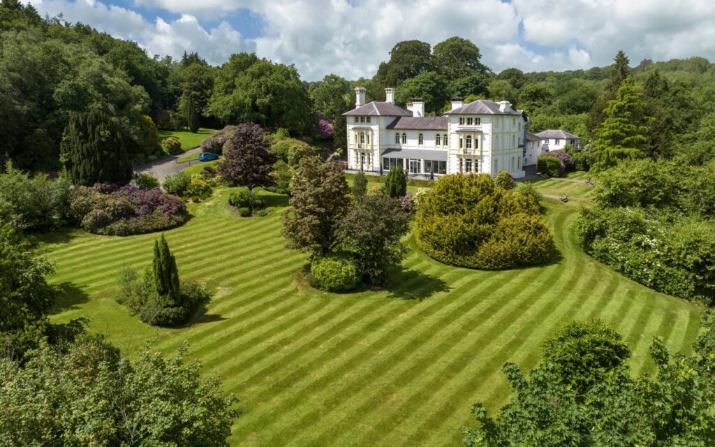
The graded hotels we would choose near this road are Llangoed Hall, The Lake Country House & Spa and The Falcondale.
How steep is the Devil's Staircase?
The RAC gives 1 in 4, or 25%. Other published figures start at around 20%, so expect first gear either way.
Which direction should you drive the Abergwesyn Pass?
We would go from Llanwrtyd Wells to Tregaron, so you climb the Devil's Staircase rather than descend it. It is much easier on brakes and nerves.
Can you take a caravan over the Abergwesyn Pass?
No. The road is single track with tight, very steep hairpins, so take caravans, trailers and large vans another way.
Does the Abergwesyn Pass flood?
The bridges on the valley floor can behave like fords after heavy rain, according to PetrolBlog's account of the road. We would avoid it straight after a storm.
Is there anywhere to stop on the Abergwesyn Pass?
There are no services between Llanwrtyd Wells and Tregaron. Llyn Brianne, reached by a turning off the pass, makes a good break, and Tregaron has food at the far end.

Read more about this road

The Logbook →

Graded hotels within easy reach of the road, the four and five stars first.

Stop along the way

All stops on the map →
B4355 and upper Teme valley - geograph.org.uk - 2069376
Next road · Mid Wales

The B4355 over Kerry Hill

Beguildy to Dolfor · 9.1 mi Drive it next →