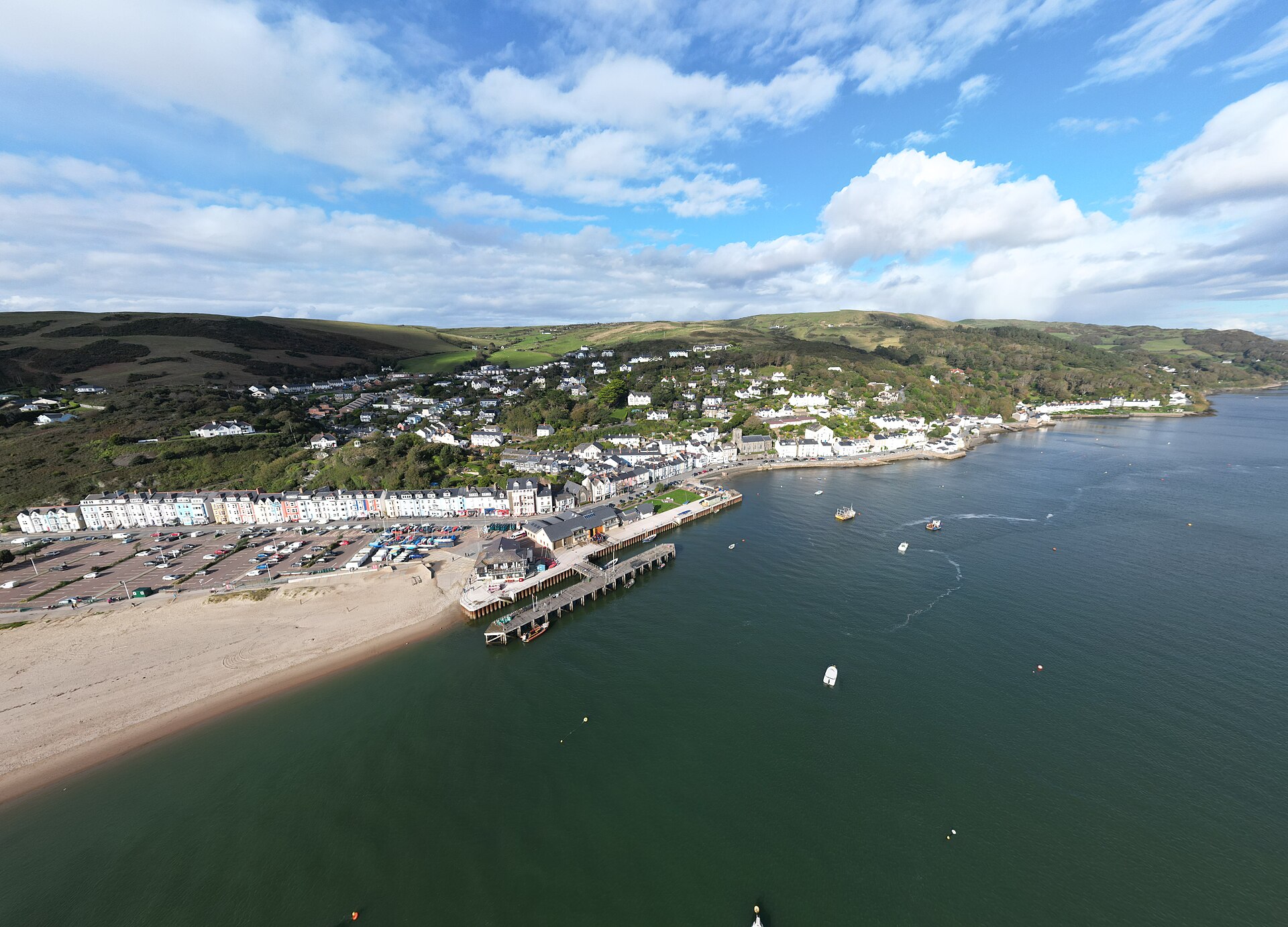
Aberdyfi, Gwynedd, Cymru (Wales) 2024 03

Routes / Mid Wales

The Cambrian coast (A493)

Scenic road A493 Machynlleth to Dolgellau by Aberdyfi

Distance36.0mi
Drive time70min
Summit72m
Total climb767m
Limits30–60mph
RegionMid

Scenic road Slower, narrower and more scenic. Rough in places, so not the best for low, stiff performance cars.

This is the A493 from Machynlleth to Dolgellau, 36.0 miles around the coast by Aberdyfi and Tywyn, and it never gets above 72 m. That makes it the one to pick when the high passes are in cloud or shut by snow. It takes about 70 minutes, the longest moving time on our top ten list, with the Dyfi estuary, Cardigan Bay and Cadair Idris all on the way.

From the old market town of Machynlleth a mile or so of the A487 takes you to the A493, which follows the north shore of the Dyfi to Aberdyfi, squeezed between the hills and the water. It is a twisting road with the railway on one side and wide sands on the other. Beyond Aberdyfi it runs along the coast to Tywyn, then climbs over the cliffs at Llwyngwril with big views across the bay to the Llŷn. The last section follows the Mawddach estuary into Dolgellau, under Cadair Idris.

We would drive it south to north, as the line does, keeping the sea on your left and finishing with the Mawddach and the mountain. The A487 over Corris closes the loop back to Machynlleth, or you can take the Tal-y-llyn road, part of the 40 mile circuit Visit Wales gives for this area. Further north, the Harlech coast is the next road, up from Barmouth, and the A494 runs east to Bala.

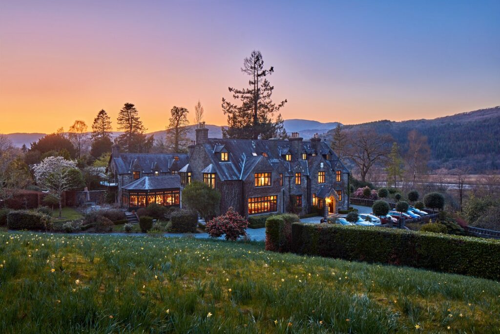
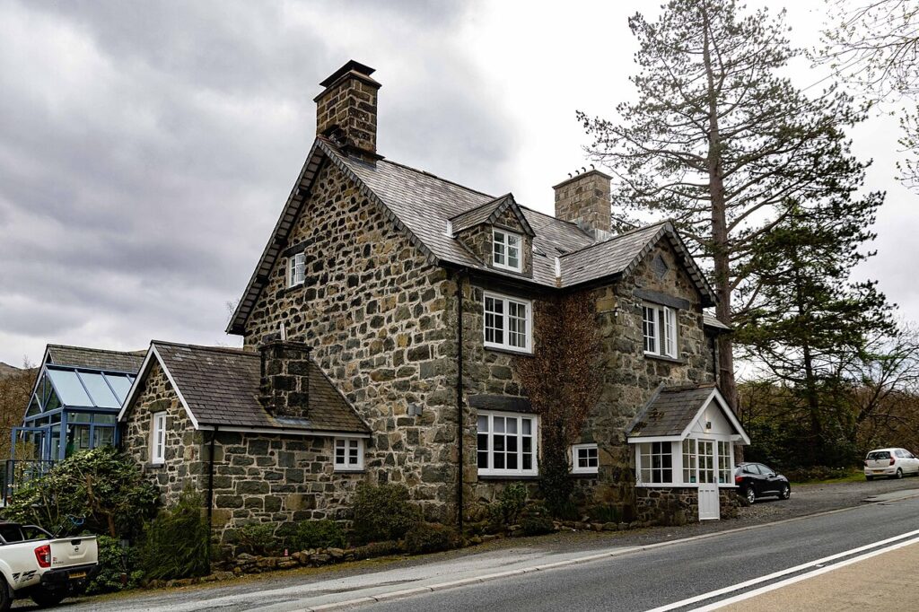
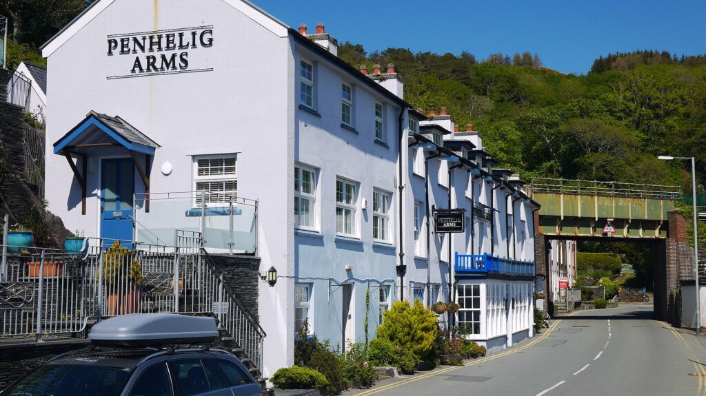
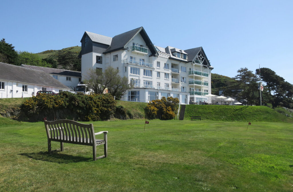
The hotels and food are unusually strong along here. The Trefeddian at Aberdyfi states free parking on its own site, and Penmaenuchaf at the Dolgellau end has parking on site, with its restaurant, Afon, at 2 AA Rosettes. Penhelig Arms is in Aberdyfi, and Ynyshir is a few minutes from the start, if you have booked well ahead. Rally fans can look out for Gwyndaf Evans Motors in Dolgellau, the family dealership behind the Evans rally name.

Good to know

  1. 01
    The road between Machynlleth and Aberdyfi is narrow in places. Take care with oncoming lorries.
  2. 02
    Aberdyfi gets very busy on sunny weekends. Park on the seafront early.
  3. 03
    Our fuel map shows Texaco at Machynlleth, Valero at Tywyn and Texaco at Dolgellau, so fuel is not a worry here. Chargers are at Machynlleth, Aberdyfi and Dolgellau.
  4. 04
    Back to Machynlleth? The A487 from Dolgellau over Corris makes a fine loop.

Photo: Aberdyfi, Gwynedd, Cymru (Wales) 2024 03 by Llywelyn2000, CC BY-SA 4.0
The climb

2 m to 72 m · summit at 20.0 mi
Start · 0 miFinish · 36.0 mi

Up top today

Forecast at the summit, 72 m · updated 04:21
Take care

Rain on the top

Drive it, but take the high section gently.

Now
Heavy rain
Air
9°C
Wind
16mph SW
Road
Wet
Golden hour · This morning

07:20to08:42

Sunrise 07:52 · Likely lost in cloud
  1. Today Take care 9–10°C · wind to 22 mph · 14 mm rain · rain
  2. Tomorrow Good day 6–9°C · wind to 17 mph · dry · rain
  3. Friday Good day 7–8°C · wind to 14 mph · dry

Forecast from MET Norway, refreshed hourly. Mountain weather turns fast: check before you set off.

The live map

Turns, cameras, viewpoints and stops along the road

Quick answers

How long is The Cambrian coast (A493)?
The Cambrian coast (A493) is 36.0 miles from Machynlleth to Dolgellau by Aberdyfi and takes about 1 hour 10 minutes to drive without stopping.
How high does The Cambrian coast (A493) go?
It reaches 72 metres (236 feet) at its highest point, with 767 metres of climbing along the way.
What is the speed limit on The Cambrian coast (A493)?
Limits along the route are 30–60 mph. Always follow the signs on the road, as Welsh limits can change.
What kind of car suits The Cambrian coast (A493)?
We class it as a Scenic road. Slower, narrower and more scenic. Rough in places, so not the best for low, stiff performance cars.
Where should I stay near The Cambrian coast (A493)?
The graded hotels we would choose near this road are The Trefeddian Hotel, Aberdyfi, Penmaenuchaf Hotel and Cross Foxes.
What is the best coastal drive in Mid Wales?
We would start with this one: the A493 from Machynlleth to Dolgellau, with the Dyfi estuary, Cardigan Bay and the Mawddach all in one run.
Is the A493 open when the mountain passes are closed?
This route stays low, peaking at 72 m, so snow is far less of a problem than on the high passes. Check road alerts in severe weather, as any coast road can flood or be hit by wind.
Can you make a loop of the Cambrian coast?
Yes. From Dolgellau, the A487 over Corris runs back to Machynlleth. The Tal-y-llyn road is the other way to close it.
Where is good to stop between Machynlleth and Dolgellau?
Aberdyfi is the obvious break, with Tywyn further on and the cliff views at Llwyngwril. Aberdyfi fills up on sunny weekends, so get there early.

Read more about this road

The Logbook →

Graded hotels within easy reach of the road, the four and five stars first.

Stop along the way

All stops on the map →
Elan Valley reservoir and dam
Next road · Mid Wales

The Elan Valley and the mountain road

Rhayader to Devil’s Bridge · 25.8 mi Drive it next →