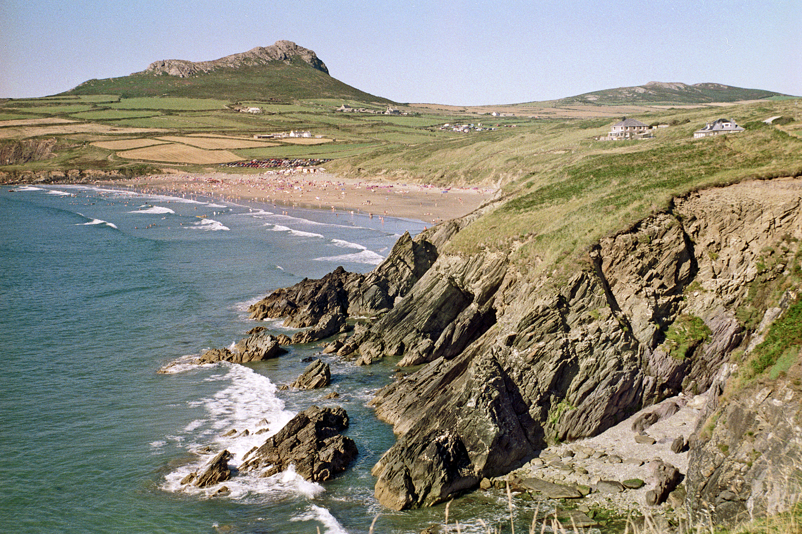
Pembrokeshire coast at Whitesands Bay near St David's

Routes / West Wales

The Pembrokeshire coast

Scenic road A487 St Davids to Cardigan

Distance36.4mi
Drive time75min
Summit187m
Total climb924m
Limits30–60mph
RegionWest

Scenic road Slower, narrower and more scenic. Rough in places, so not the best for low, stiff performance cars.

The Pembrokeshire coast drive runs from St Davids to Cardigan along the north coast of the county, mostly on the A487 with detours down to the harbours. Our 36.4 mile line tops out at just 187 m: this is a slow, scenic tour rather than a hill road. Start in St Davids, Tyddewi in Welsh, the UK’s smallest city by population, with its cathedral tucked in a hollow out of sight of the sea.

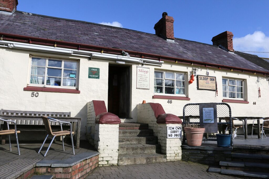
Head north-east and take the lanes to Porthgain, an old slate and brick port with the Sloop Inn on the harbour. The village shipped slate from 1850 to 1910, made bricks until 1912 and crushed stone until 1931, and the great brick hoppers on the quay are now a scheduled monument. The Sloop was once called the Step In, when crews could step off their boats and into the bar.

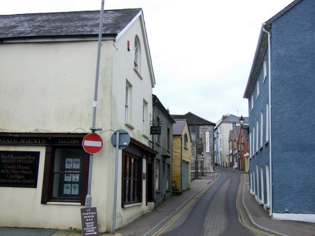
Rejoin the A487 for Fishguard and drop down to the harbour at Lower Fishguard, a short tidal quay that played Llareggub in the 1972 film of Under Milk Wood. Fishguard is also where the French landed in 1797, the last invasion of mainland Britain. Carry on through Newport under Carn Ingli. The last stretch runs inland a little to the Teifi and the market town of Cardigan, where the castle held the first recorded eisteddfod in 1176 and reopened to the public in 2015. We drive it west to east, finishing on the Teifi.

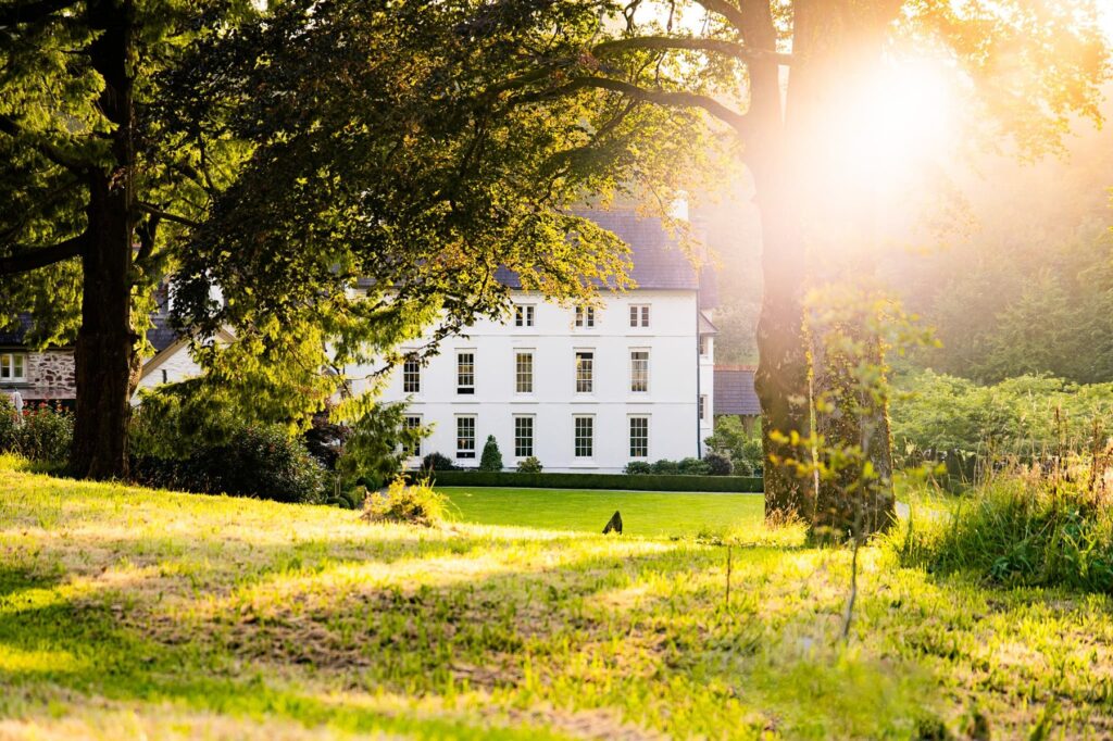
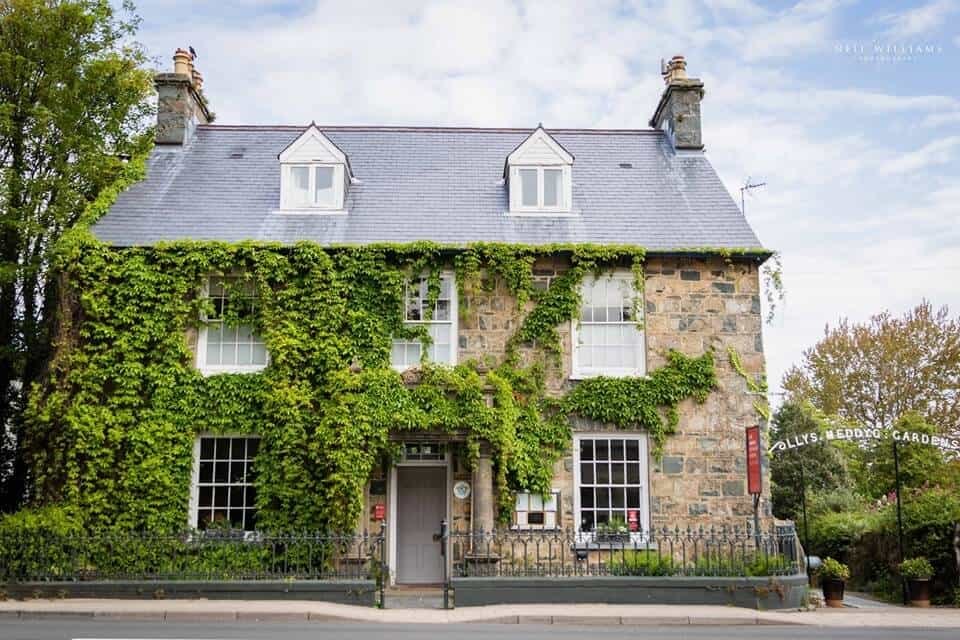
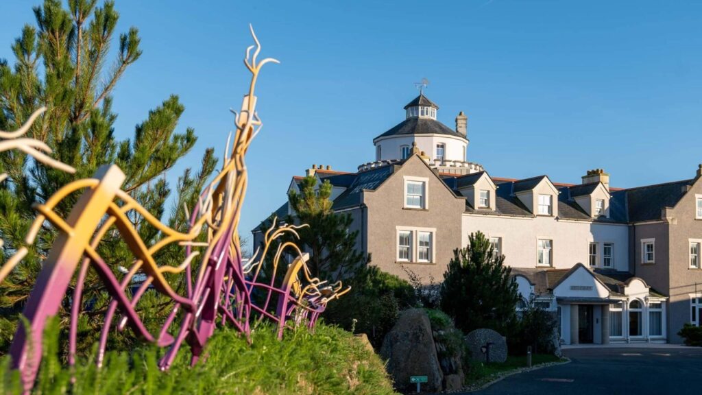
Stay at Twr y Felin, built around an old windmill in St Davids, at Llys Meddyg in Newport, or inland at the Grove of Narberth. For lunch, the Sloop Inn at Porthgain is the obvious stop, and Yr Hen Printworks in Cardigan is a Bib Gourmand. From Newport, the road over the Preseli hills turns inland.

Good to know

  1. 01
    The lanes to Porthgain are narrow and steep in places.
  2. 02
    Parking in St Davids and Porthgain fills up by late morning in summer.
  3. 03
    The Pembrokeshire Coast Path crosses the road in several places, and runs along both sides of Porthgain harbour. Stop and walk a section.
  4. 04
    St Davids, Fishguard, Newport and Cardigan are built up, so expect the Welsh 20 mph default in the towns.
  5. 05
    The Bishop’s Palace in St Davids is in the care of Cadw and open to the public, next to the cathedral.

Photo: Pembrokeshire coast at Whitesands Bay near St David's by Roger D Kidd, CC BY-SA 2.0
The climb

3 m to 187 m · summit at 31.4 mi
Start · 0 miFinish · 36.4 mi

Up top today

Forecast at the summit, 187 m · updated 04:21
Take care

Rain on the top

Best between 15:00 and 17:00. Take the high section gently outside it.

Now
Light rain
Air
8°C
Wind
17mph W
Road
Wet
Golden hour · This morning

07:22to08:40

Sunrise 07:52 · Likely lost in cloud
  1. Today Take care 9–10°C · wind to 23 mph · 5 mm rain · rain
  2. Tomorrow Give it a miss 4–9°C · wind to 10 mph · 2 mm rain · thick fog
  3. Friday Good day 6–8°C · wind to 11 mph · dry

Forecast from MET Norway, refreshed hourly. Mountain weather turns fast: check before you set off.

The live map

Turns, cameras, viewpoints and stops along the road

Quick answers

How long is The Pembrokeshire coast?
The Pembrokeshire coast is 36.4 miles from St Davids to Cardigan and takes about 1 hour 15 minutes to drive without stopping.
How high does The Pembrokeshire coast go?
It reaches 187 metres (614 feet) at its highest point, with 924 metres of climbing along the way.
What is the speed limit on The Pembrokeshire coast?
Limits along the route are 30–60 mph. Always follow the signs on the road, as Welsh limits can change.
What kind of car suits The Pembrokeshire coast?
We class it as a Scenic road. Slower, narrower and more scenic. Rough in places, so not the best for low, stiff performance cars.
Where should I stay near The Pembrokeshire coast?
The graded hotels we would choose near this road are Twr y Felin Hotel, St Davids, Grove of Narberth and Llys Meddyg.
What is the best coastal drive in Pembrokeshire?
Our pick is the north coast from St Davids to Cardigan, mostly on the A487, with detours to Porthgain and Lower Fishguard and on through Newport.
Is St Davids the smallest city in the UK?
St Davids is the UK's smallest city by population. It was granted city status again in 1994.
Where was Under Milk Wood filmed?
The 1972 film of Under Milk Wood used Lower Fishguard as the fictional village of Llareggub, with local people as extras.
Where do you park in Porthgain?
Parking in Porthgain is limited and fills up by late morning in summer, so arrive early.

Read more about this road

The Logbook →

Graded hotels within easy reach of the road, the four and five stars first.

Stop along the way

All stops on the map →
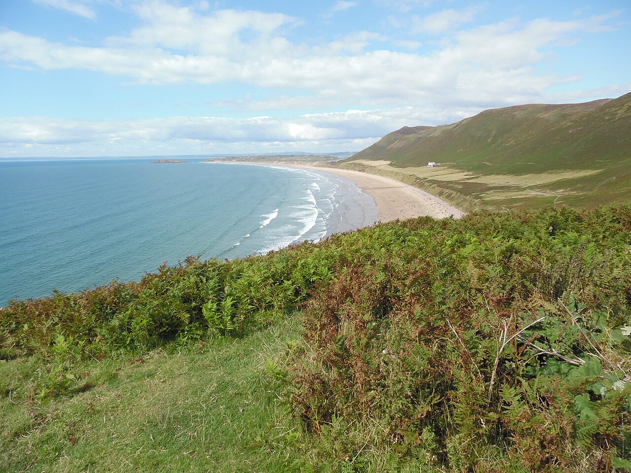
Rhossili Bay from Rhossili - geograph.org.uk - 4904492
Next road · South Wales

Gower

Mumbles to Rhossili · 17.2 mi Drive it next →