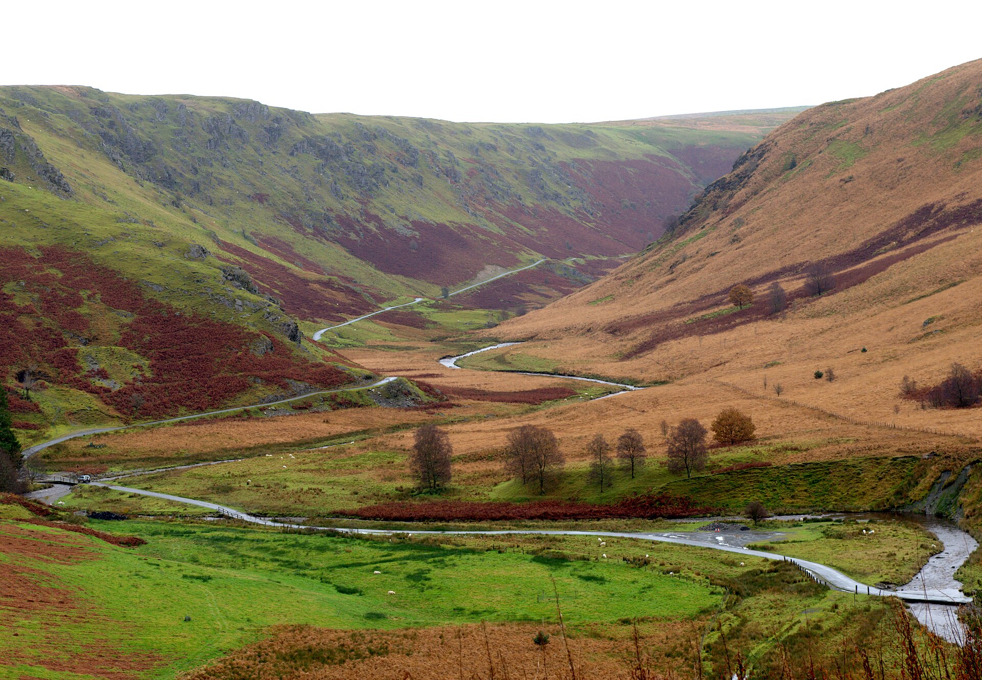
Abergwesyn Mountain Pass

Routes / Mid Wales

A Cambrian Mountains loop

Scenic road A483 Tregaron, Llyn Brianne and Llandovery

Distance61.1mi
Drive time120min
Summit481m
Total climb1816m
Limits30–60mph
RegionMid

Scenic road Slower, narrower and more scenic. Rough in places, so not the best for low, stiff performance cars.

Our Cambrian Mountains loop is the long way round the emptiest country in Wales: Tregaron, the mountain road to Abergwesyn, the Devil’s Staircase, Llyn Brianne and Llandovery, then back up the Teifi valley. The 61.1 mile line tops out at 481 m on the mountain section; the pass on the Tregaron to Abergwesyn road, Bwlch Esgair Gelli, is listed at 472 m. It is a full day out, and it should be.

Leave Tregaron, once a main gathering place for the drovers who walked cattle and sheep to the markets of England, on the old drovers’ road into the hills. Then turn south on the single-track lane that drops past the Devil’s Staircase hairpins towards Llyn Brianne.

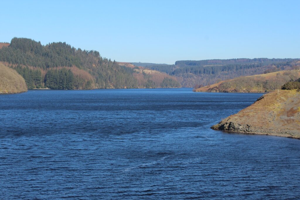
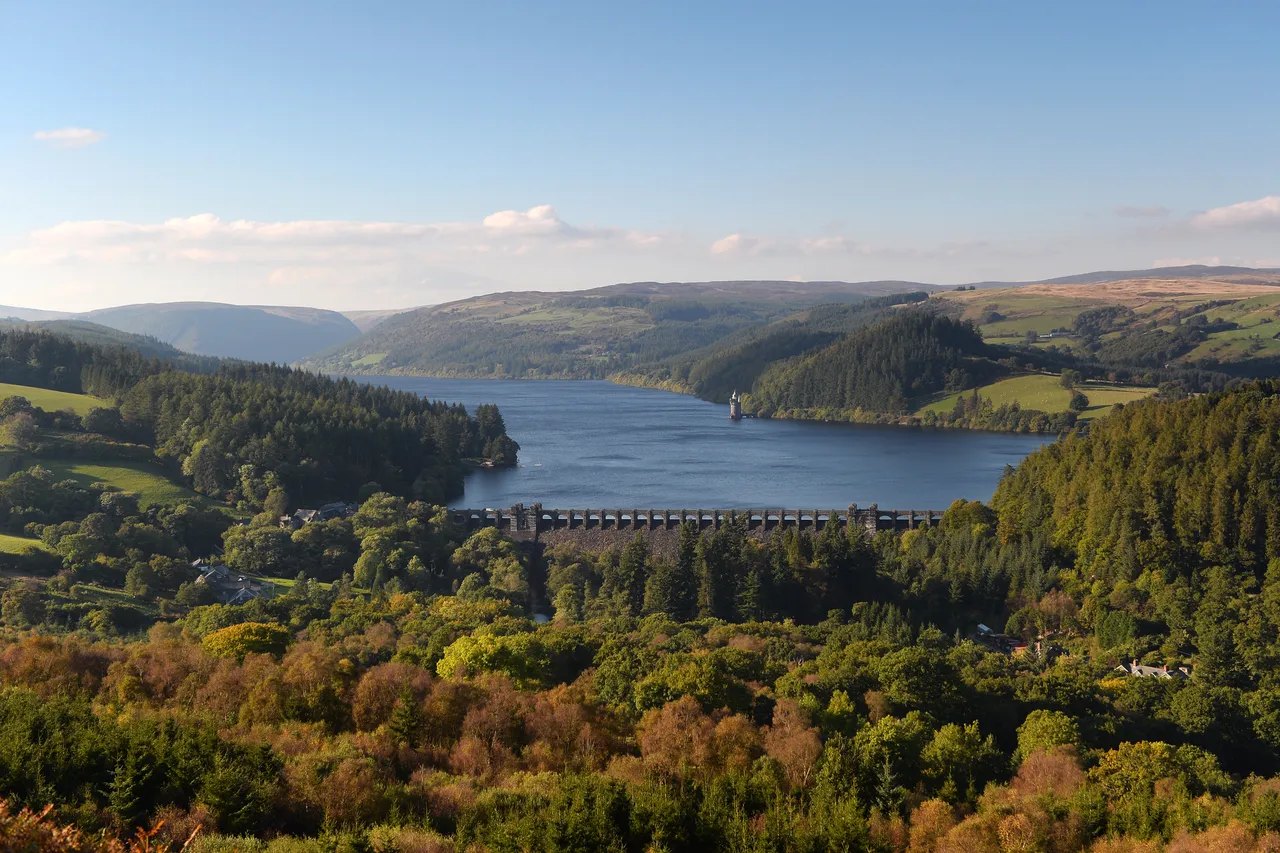
The road follows the twisting shore of the reservoir to its dam, built of crushed rock and clay in the late 1960s and early 1970s and, at 91 m, the tallest dam in the UK. When the reservoir spills, the spillway is a sight in itself. The road runs on down through the hamlet of Rhandirmwyn, where the outlaw Twm Siôn Cati is said to have hidden in a cave on Dinas Hill, to Llandovery. There the West End Café is a long-standing stop for bikers. The return leg is faster and easier, over to Lampeter and up the Teifi valley back to Tregaron.

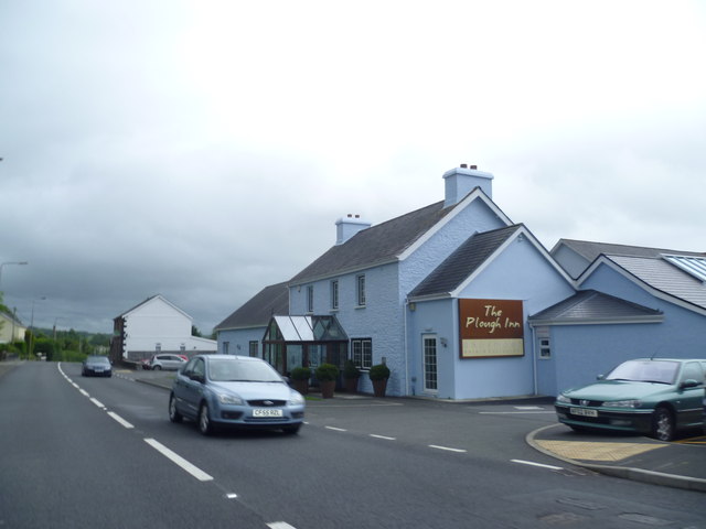
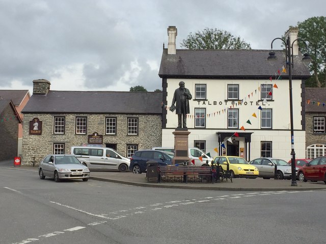
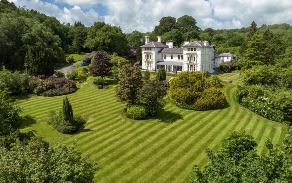
Start or finish at Y Talbot, the drovers’ inn on the square in Tregaron. Stay at Falcondale above Lampeter or The Plough at Rhosmaen near Llandeilo. From Llandovery, the A483 to Builth Wells and the Abergwesyn Pass are the roads that join it.

Good to know

  1. 01
    Much of the mountain section is single track with passing places, and you may not see another car for miles.
  2. 02
    There is no fuel or phone signal on the mountain roads. Fill up in Tregaron or Llandovery.
  3. 03
    Not suitable for caravans or trailers.
  4. 04
    The Devil’s Staircase is steep with tight hairpins and a rough surface in places; take it in a low gear and give cyclists room.
  5. 05
    These are county roads across Ceredigion, Powys and Carmarthenshire, so closures come from the councils, not Traffic Wales.

Photo: Abergwesyn Mountain Pass by Our retreat, CC BY-SA 4.0
The climb

51 m to 481 m · summit at 5.0 mi
Start · 0 miFinish · 61.1 mi

Up top today

Forecast at the summit, 481 m · updated 04:21
Take care

Rain on the top

Drive it, but take the high section gently.

Now
Light rain
Air
6°C
Wind
12mph SW
Road
Wet
Golden hour · This morning

07:18to08:38

Sunrise 07:48 · Likely lost in cloud
  1. Today Take care 6–8°C · wind to 17 mph · 6 mm rain · rain
  2. Tomorrow Give it a miss 4–7°C · wind to 11 mph · 4 mm rain · thick fog
  3. Friday Take care 4–5°C · wind to 14 mph · dry · patchy fog

Forecast from MET Norway, refreshed hourly. Mountain weather turns fast: check before you set off.

The live map

Turns, cameras, viewpoints and stops along the road

Quick answers

How long is A Cambrian Mountains loop?
A Cambrian Mountains loop is 61.1 miles and takes about 2 hours to drive without stopping.
How high does A Cambrian Mountains loop go?
It reaches 481 metres (1,578 feet) at its highest point, with 1816 metres of climbing along the way.
What is the speed limit on A Cambrian Mountains loop?
Limits along the route are 30–60 mph. Always follow the signs on the road, as Welsh limits can change.
What kind of car suits A Cambrian Mountains loop?
We class it as a Scenic road. Slower, narrower and more scenic. Rough in places, so not the best for low, stiff performance cars.
Where should I stay near A Cambrian Mountains loop?
The graded hotels we would choose near this road are The Falcondale, The Plough, Rhosmaen and Tŷ Glyn.
Where is the Devil's Staircase in Wales?
It is on the single-track road between Abergwesyn and Llyn Brianne in the Cambrian Mountains, a short, very steep section with tight hairpin bends.
Is Llyn Brianne the tallest dam in the UK?
Yes. The Llyn Brianne dam stands 91 m (300 ft) high, the tallest in the UK. It was built in the late 1960s and early 1970s to regulate the River Tywi.
How long does the Cambrian Mountains loop take?
Our 61.1 mile loop takes about two hours of driving. With stops at Llyn Brianne and in Llandovery, allow most of a day.
Is there fuel on the Cambrian Mountains roads?
No. There is no fuel or phone signal on the mountain roads, so fill up in Tregaron or Llandovery before you start.

Read more about this road

The Logbook →

Graded hotels within easy reach of the road, the four and five stars first.

Stop along the way

All stops on the map →
Lake Vyrnwy from Glyndŵr's Way
Next road · Mid Wales

Lake Vyrnwy

Llanfyllin to Llanwddyn · 18.2 mi Drive it next →