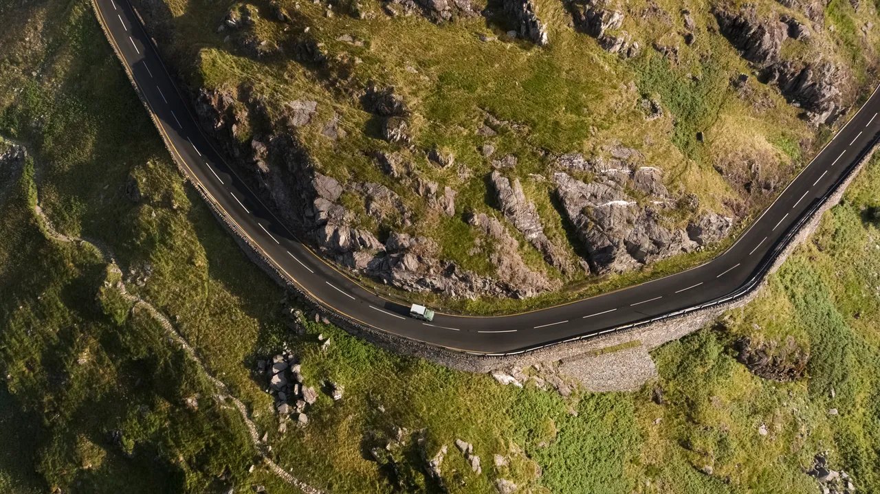
The road through Nant Gwynant from above

Routes / North Wales

Nant Gwynant and the Aberglaslyn Pass

Driving road A498 Pen-y-Gwryd to Porthmadog

Distance15.6mi
Drive time30min
Summit294m
Total climb198m
Limits30–50mph
RegionNorth

Driving road Built for driving: well surfaced and rewarding behind the wheel.

Nant Gwynant and the Aberglaslyn Pass are the A498, the road from the foot of Yr Wyddfa down to the coast at Porthmadog. Our 15.6 mile line runs from Pen-y-Gwryd to Porthmadog and tops out at 294 m, a little above the 277 m published for the road’s summit at Pen-y-Gwryd.

From Pen-y-Gwryd, where the Llanberis Pass bears off north, the A498 drops down the valley of Nant Gwynant. The first viewpoint, a lay-by high above Llyn Gwynant, has one of the great views in Eryri straight down the valley. The descent includes about 1.75 miles of narrow, twisting road where larger vehicles struggle to pass. The road then runs along the shores of Llyn Gwynant and Llyn Dinas to Beddgelert, a stone village where two rivers meet, crossing the river there on a sharp right-angled bend.

South of the village it threads the Pass of Aberglaslyn, Bwlch Aberglaslyn, a narrow wooded gorge on the Afon Glaslyn. The Welsh Highland Railway runs on the far bank, and the National Trust, which owns the land around it, helped rebuild the Fisherman’s Path through the gorge. As late as the early 19th century, small boats could reach Pont Aberglaslyn at high tide, and local legend says the Devil built the bridge and was cheated of his prize by a dog. The road then opens out across Traeth Mawr, land reclaimed after the Cob was built at Porthmadog in 1812, to Tremadog and the harbour.

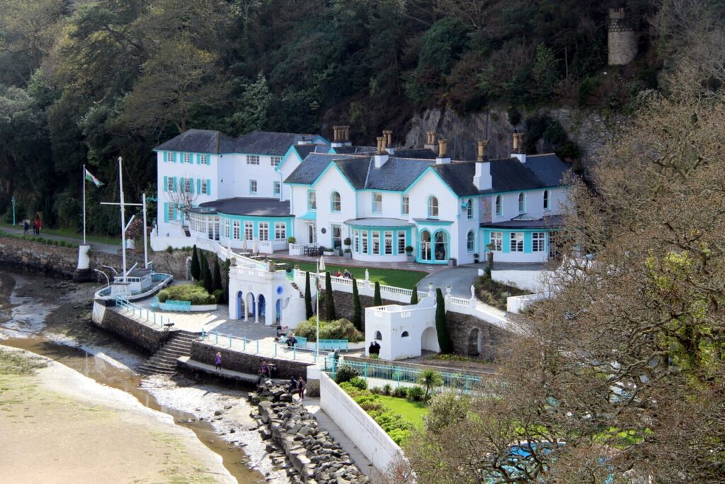
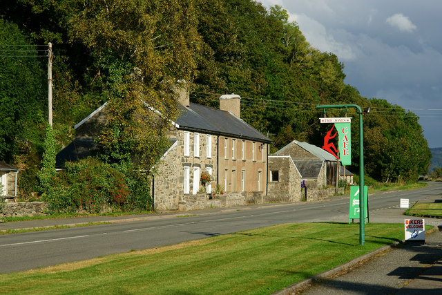
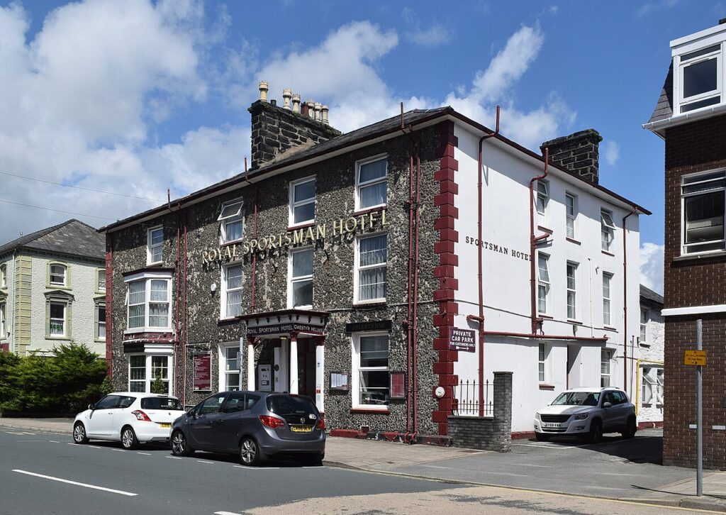
Stop at Y Beudy Steakhouse under the Tremadog crags, and stay at the Royal Sportsman in Porthmadog or The Hotel Portmeirion. Pair it with the Llanberis Pass for a loop round Yr Wyddfa, or turn off at Beddgelert for the Nantlle valley.

Good to know

  1. 01
    The lay-by above Llyn Gwynant is small and fills on fine days. Do not stop on the road.
  2. 02
    Beddgelert is busy at weekends, and the Welsh Highland Railway crosses the road at points along the route.
  3. 03
    The Bryn-y-felin bridge over the railway near Beddgelert is narrow, and anything wider than a standard car finds it tight.
  4. 04
    For closures, check Traffic Wales and Gwynedd Council.

Photo: The road through Nant Gwynant from above, © Crown copyright, Visit Wales
The climb

2 m to 294 m · summit at 0.0 mi
Start · 0 miFinish · 15.6 mi

Up top today

Forecast at the summit, 294 m · updated 04:07
Take care

Rain on the top

Drive it, but take the high section gently.

Now
Light rain
Air
5°C
Wind
8mph SW
Road
Wet
Golden hour · This morning

07:22to08:44

Sunrise 07:52 · Likely lost in cloud
  1. Today Take care 5–8°C · wind to 12 mph · 4 mm rain · rain
  2. Tomorrow Good day 3–7°C · wind to 11 mph · dry · frost in the shade
  3. Friday Take care 2–6°C · wind to 12 mph · dry · frost in the shade

Forecast from MET Norway, refreshed hourly. Mountain weather turns fast: check before you set off.

The live map

Turns, cameras, viewpoints and stops along the road

Quick answers

How long is Nant Gwynant and the Aberglaslyn Pass?
Nant Gwynant and the Aberglaslyn Pass is 15.6 miles from Pen-y-Gwryd to Porthmadog and takes about 30 minutes to drive without stopping.
How high does Nant Gwynant and the Aberglaslyn Pass go?
It reaches 294 metres (965 feet) at its highest point, with 198 metres of climbing along the way.
What is the speed limit on Nant Gwynant and the Aberglaslyn Pass?
Limits along the route are 30–50 mph. Always follow the signs on the road, as Welsh limits can change.
What kind of car suits Nant Gwynant and the Aberglaslyn Pass?
We class it as a Driving road. Built for driving: well surfaced and rewarding behind the wheel.
Where should I stay near Nant Gwynant and the Aberglaslyn Pass?
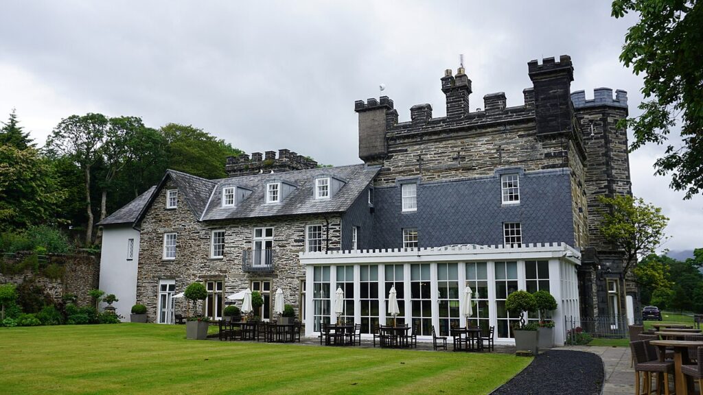
The graded hotels we would choose near this road are Royal Sportsman Hotel, Castell Deudraeth and The Hotel Portmeirion.
What road goes through Nant Gwynant?
The A498, a 16-mile road from Pen-y-Gwryd to Porthmadog by way of Beddgelert and the Aberglaslyn Pass.
Where is the Llyn Gwynant viewpoint?
It is a small lay-by high on the A498 above Llyn Gwynant, below Pen-y-Gwryd, looking straight down the valley. It fills quickly on fine days.
What is the Welsh name for the Aberglaslyn Pass?
Bwlch Aberglaslyn. It is the gorge of the Afon Glaslyn just south of Beddgelert.
Is the A498 narrow?
In places. About 1.75 miles of the Nant Gwynant descent is narrow and twisting, and there are further tight sections in the Aberglaslyn Pass and through Beddgelert.

Read more about this road

The Logbook →

Graded hotels within easy reach of the road, the four and five stars first.

Stop along the way

All stops on the map →
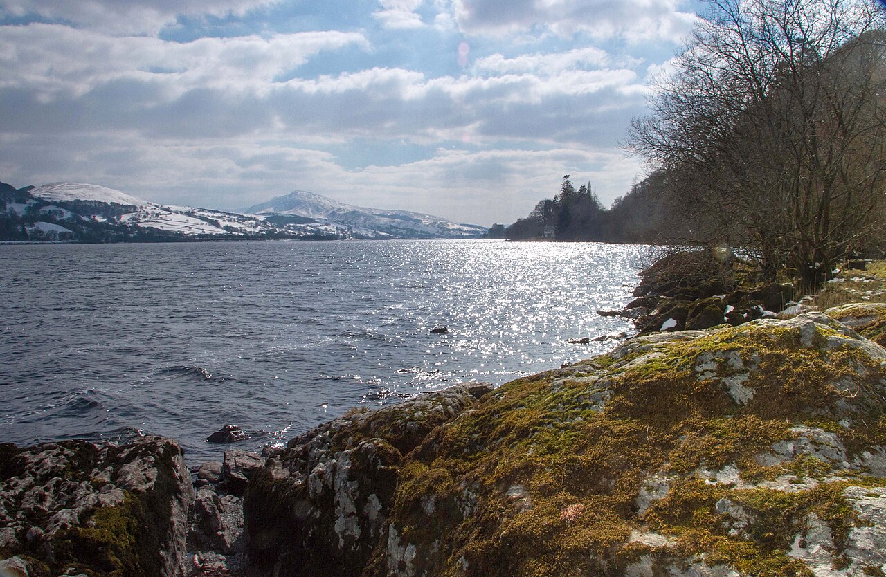
Llyn Tegid and Aran Benllyn - geograph.org.uk - 3650834
Next road · North Wales

The A494 by Llyn Tegid

Bala to Dolgellau · 17.3 mi Drive it next →