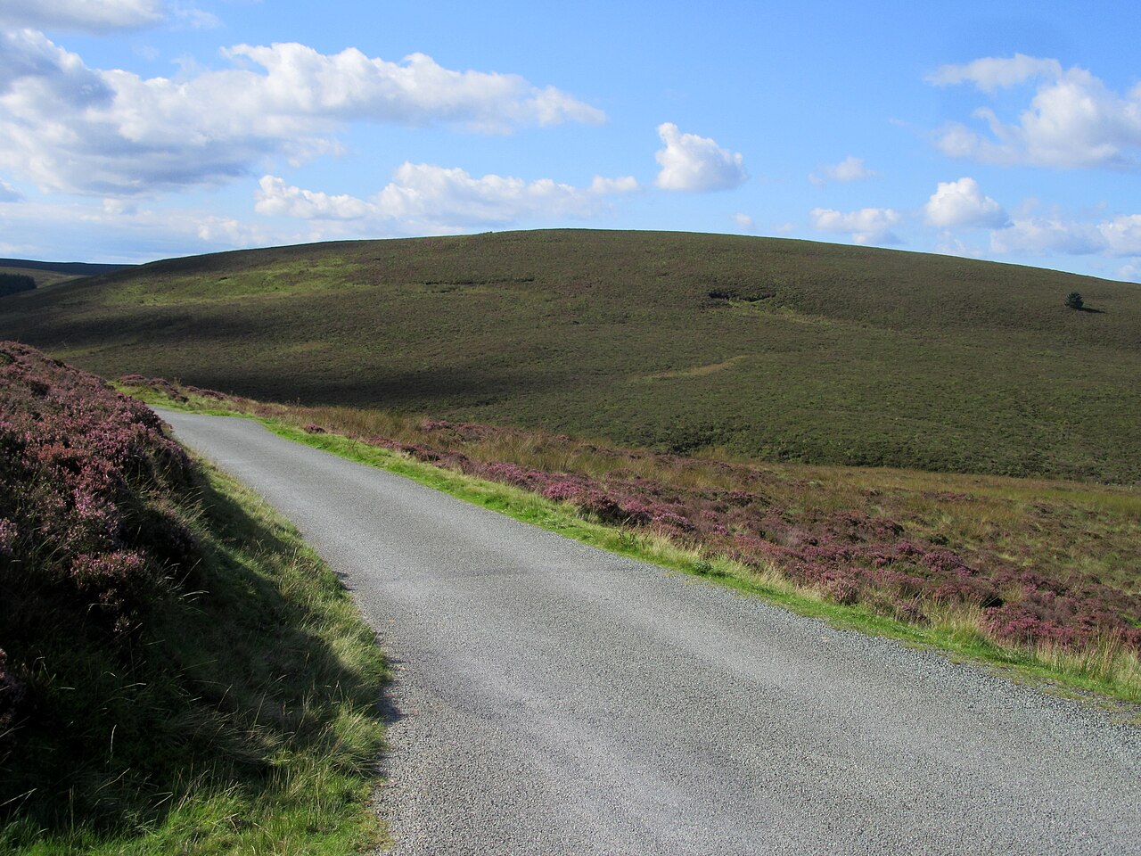
Heather moorland at the summit of the Hirnant Pass - geograph.org.uk - 6587483

Routes / North Wales

The B4391 over Milltir Gerrig

Driving road B4391 Llangynog to Bala

Distance12.7mi
Drive time25min
Summit486m
Total climb439m
Limits30–60mph
RegionNorth

Driving road Built for driving: well surfaced and rewarding behind the wheel.

Milltir Gerrig, also written Milltir Cerrig, is the pass on the B4391 over the Berwyn between the Tanat valley and Bala. The name means mile of stones. Our 12.7 mile line runs from Llangynog to Bala and tops out at 486 m, exactly the height usually quoted for the pass.

Llangynog sits where the Afon Eirth meets the Tanat at the foot of the Berwyn, beneath old lead-mine workings, and was once the western end of the Tanat Valley Light Railway, which carried passengers from 1904 until 1951. From the village the B4391 climbs hard out of the valley in a series of steep bends cut into the hillside, with a long drop to one side. The climb up the head of the Tanat valley is about 4 miles, and the road passes briefly through Denbighshire on its way from Powys into Gwynedd.

At the top is a wild pass between the Berwyn hills. A bridleway heads east from the summit across Moel Sych, Cadair Berwyn and Cadair Bronwen, the three peaks you see from the Bala side. The road then crosses about 5 miles of bleak moorland to the B4402 junction near Bala, in long, fast curves with wide views north. It is short, but few roads in Wales pack more into a few miles. We take it south to north, so the hard climb comes first and the moor opens out ahead.

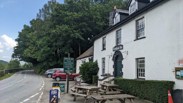
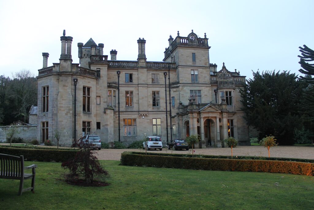
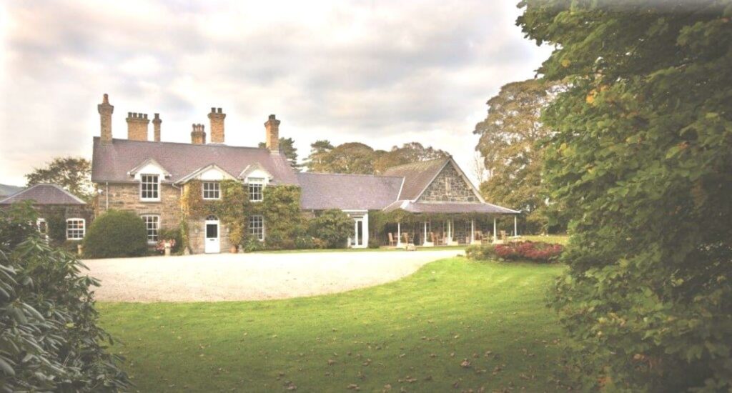
Stay at Palé Hall at Llandderfel or Tyddyn Llan at Llandrillo, and eat at The Bryntirion Inn near Bala. From Bala, carry on to the Migneint, or round Llyn Tegid to Bwlch y Groes.

Good to know

  1. 01
    The climb out of Llangynog is steep, narrow and unfenced in places.
  2. 02
    The road is popular with motorcyclists, especially on summer weekends.
  3. 03
    The B4391 is a county road crossing Powys, Denbighshire and Gwynedd. Closures come from those councils, not Traffic Wales.
  4. 04
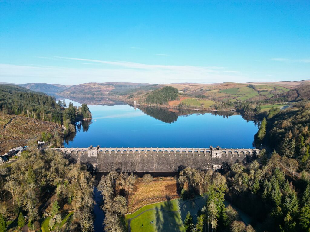
    Our Lake Vyrnwy road finishes not far to the south, so the two make a natural pair.

Photo: Heather moorland at the summit of the Hirnant Pass – geograph.org.uk – 6587483 by John H Darch, CC BY-SA 2.0
The climb

160 m to 486 m · summit at 3.9 mi
Start · 0 miFinish · 12.7 mi

Up top today

Forecast at the summit, 486 m · updated 04:21
Take care

Rain on the top

Drive it, but take the high section gently.

Now
Light rain
Air
6°C
Wind
10mph SW
Road
Wet
Golden hour · This morning

07:20to08:40

Sunrise 07:50 · Likely lost in cloud
  1. Today Take care 6–8°C · wind to 14 mph · 3 mm rain · rain
  2. Tomorrow Give it a miss 3–6°C · wind to 9 mph · dry · thick fog
  3. Friday Good day 2–5°C · wind to 11 mph · dry · frost in the shade

Forecast from MET Norway, refreshed hourly. Mountain weather turns fast: check before you set off.

The live map

Turns, cameras, viewpoints and stops along the road

Quick answers

How long is The B4391 over Milltir Gerrig?
The B4391 over Milltir Gerrig is 12.7 miles from Llangynog to Bala and takes about 25 minutes to drive without stopping.
How high does The B4391 over Milltir Gerrig go?
It reaches 486 metres (1,594 feet) at its highest point, with 439 metres of climbing along the way.
What is the speed limit on The B4391 over Milltir Gerrig?
Limits along the route are 30–60 mph. Always follow the signs on the road, as Welsh limits can change.
What kind of car suits The B4391 over Milltir Gerrig?
We class it as a Driving road. Built for driving: well surfaced and rewarding behind the wheel.
Where should I stay near The B4391 over Milltir Gerrig?
The graded hotels we would choose near this road are Palé Hall, Tyddyn Llan and Lake Vyrnwy Hotel.
What does Milltir Gerrig mean?
Milltir Gerrig, or Milltir Cerrig, is Welsh for mile of stones. It is the pass on the B4391 over the Berwyn between Llangynog and Bala.
How high is the Milltir Gerrig pass?
The summit is at 486 m (1,594 ft), which our line matches.
Which counties does the B4391 over Milltir Gerrig cross?
It runs from Llangynog in Powys to Bala in Gwynedd, passing briefly through Denbighshire near the top.
Can you walk to Cadair Berwyn from Milltir Gerrig?
Yes. A bridleway heads east from the summit of the pass across Moel Sych, Cadair Berwyn and Cadair Bronwen.

Read more about this road

The Logbook →

Graded hotels within easy reach of the road, the four and five stars first.

Stop along the way

All stops on the map →
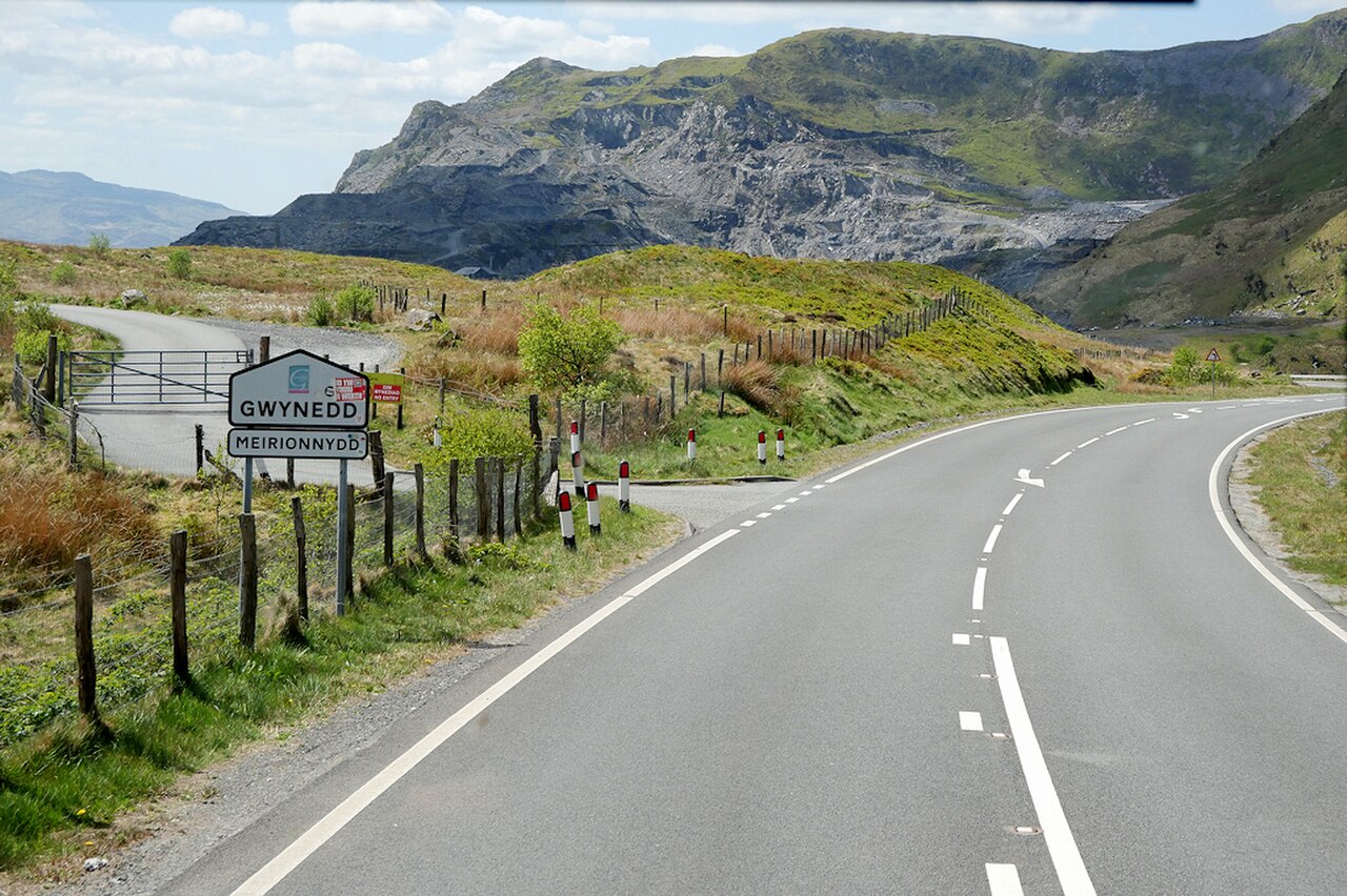
A470, Crimea Pass, towards Blaenau Ffestiniog - geograph.org.uk - 8053389
Next road · North Wales

The Crimea Pass

Betws-y-Coed to Blaenau Ffestiniog · 13.2 mi Drive it next →