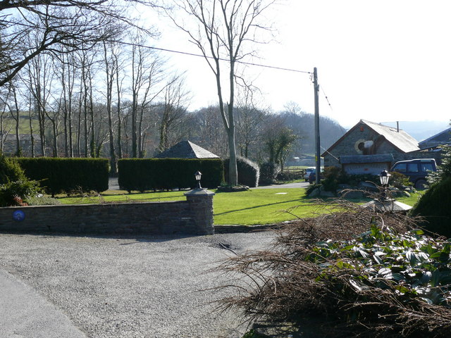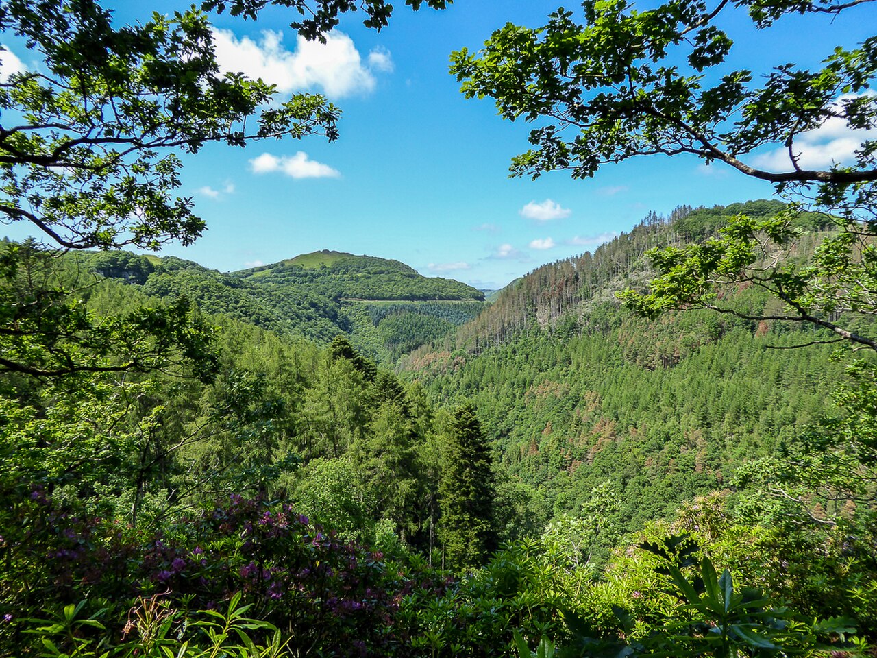
Afon Rheidol Valley as seen from the Woodland Walk, Devil's Bridge - geograph.org.uk - 4041643

Routes / Mid Wales

The Rheidol road

Scenic road A4120 Ponterwyd to Aberystwyth by Devil’s Bridge

Distance13.8mi
Drive time30min
Summit303m
Total climb322m
Limits30–60mph
RegionMid

Scenic road Slower, narrower and more scenic. Rough in places, so not the best for low, stiff performance cars.

The A4120 is the Rheidol road, leaving the A44 at Ponterwyd and running south to Devil’s Bridge, then west along the rim of the Rheidol gorge into Aberystwyth. Our 13.8 mile line tops out at 303 m. It is a quieter, more dramatic alternative to the main road, and the one we would choose every time.

Devil’s Bridge, Pontarfynach in Welsh, is the midpoint and the landmark: three bridges stacked one above the other over the Mynach gorge, built hundreds of years apart, with the falls below. Visitors have been coming since the mid-1700s; Turner painted it and Wordsworth wrote a poem about the torrent. The Hafod Hotel beside the bridge has traded under that name since the 1860s, and it appeared in the television series Hinterland.

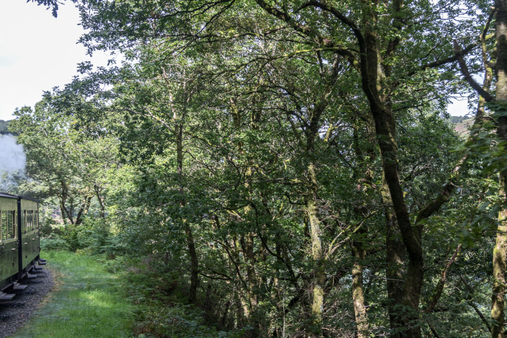
From there the road keeps to the high ground, looking down on the Vale of Rheidol Railway, the narrow gauge steam line that has run the 11¾ miles between Aberystwyth and Devil’s Bridge since 1902. The bends are tight and the edges unforgiving, rewarding a smooth, unhurried rhythm.

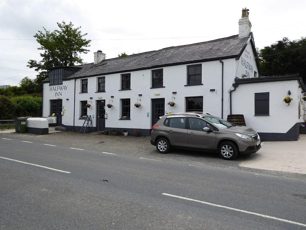
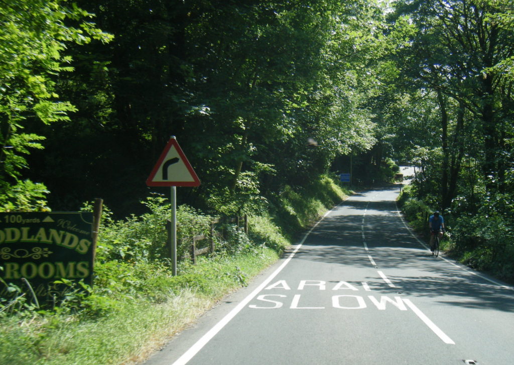
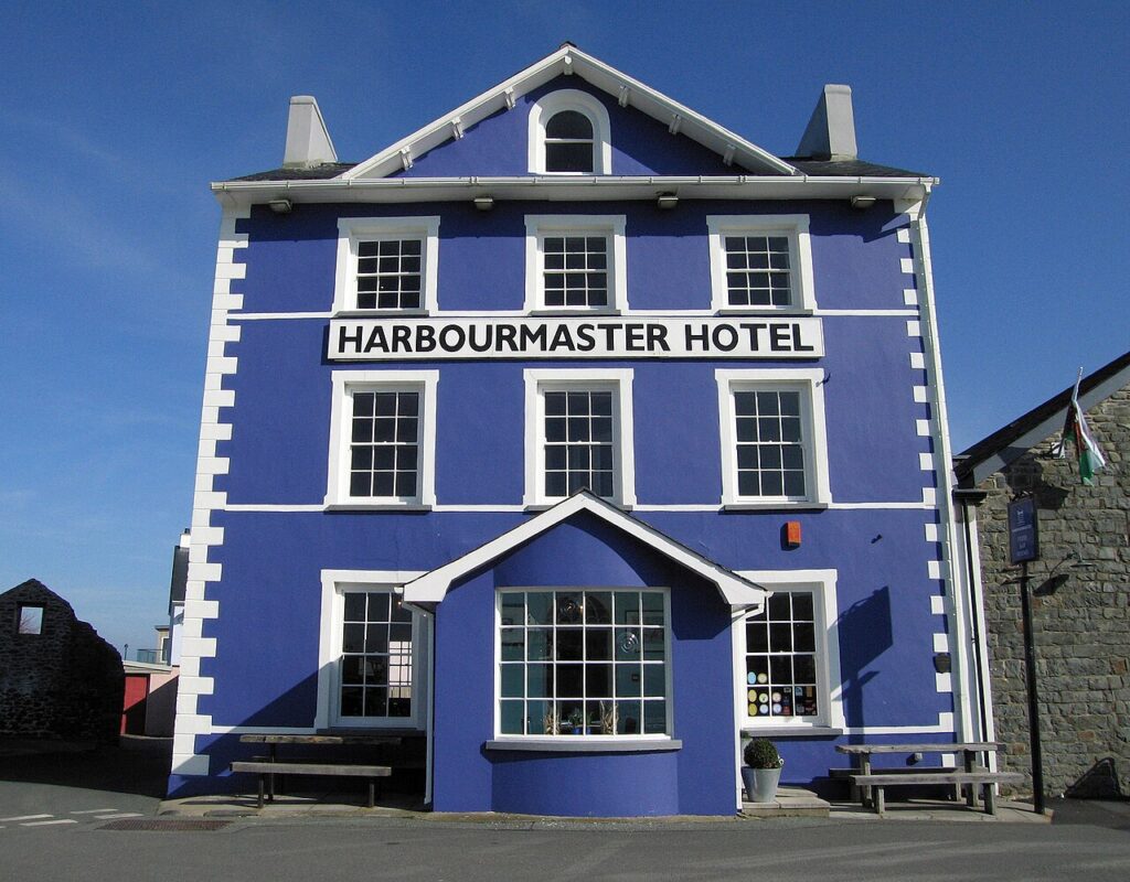
Stop at Devil’s Bridge Falls and the Woodlands Café, then Two Hoots at the Halfway Inn, high on the road with views across the valley. Stay at the Harbourmaster in Aberaeron. It joins neatly with the A44 over Pumlumon and the Elan Valley mountain road.

Good to know

  1. 01
    The road is narrow with steep drops on the gorge side and limited verges.
  2. 02
    Devil’s Bridge Falls has a free customer car park limited to four hours, and the walks are open all year, weather permitting. The short Punchbowl walk takes about 10 minutes, down 220 slate steps; the long walk takes about 45.
  3. 03
    The falls are staffed from 9.45am to 4.30pm, with turnstile entry (coins or contactless) outside those hours and through the winter.
  4. 04
    Vale of Rheidol steam trains run between Aberystwyth and Devil’s Bridge if anyone fancies the view from the other side.
  5. 05
    The A4120 is a Ceredigion County Council road, so closures are posted by the council rather than Traffic Wales.

Photo: Afon Rheidol Valley as seen from the Woodland Walk, Devil's Bridge – geograph.org.uk – 4041643 by Christine Matthews, CC BY-SA 2.0
The climb

6 m to 303 m · summit at 5.8 mi
Start · 0 miFinish · 13.8 mi

Up top today

Forecast at the summit, 303 m · updated 04:06
Give it a miss

Give it a miss today

Thick fog over the top. Tomorrow looks better.

Now
Heavy rain
Air
7°C
Wind
12mph SW
Road
Wet
Golden hour · This morning

07:20to08:40

Sunrise 07:50 · Likely lost in cloud
  1. Today Give it a miss 7–8°C · wind to 18 mph · 13 mm rain · thick fog
  2. Tomorrow Take care 5–8°C · wind to 13 mph · 5 mm rain · thick fog
  3. Friday Good day 5–6°C · wind to 14 mph · dry · patchy fog

Forecast from MET Norway, refreshed hourly. Mountain weather turns fast: check before you set off.

The live map

Turns, cameras, viewpoints and stops along the road

Quick answers

How long is The Rheidol road?
The Rheidol road is 13.8 miles from Ponterwyd to Aberystwyth by Devil’s Bridge and takes about 30 minutes to drive without stopping.
How high does The Rheidol road go?
It reaches 303 metres (994 feet) at its highest point, with 322 metres of climbing along the way.
What is the speed limit on The Rheidol road?
Limits along the route are 30–60 mph. Always follow the signs on the road, as Welsh limits can change.
What kind of car suits The Rheidol road?
We class it as a Scenic road. Slower, narrower and more scenic. Rough in places, so not the best for low, stiff performance cars.
Where should I stay near The Rheidol road?
The graded hotels we would choose near this road are The Trefeddian Hotel, Aberdyfi, Harbourmaster and Tŷ Glyn.
What is the Welsh name for Devil's Bridge?
Pontarfynach, meaning the bridge over the Mynach. The English name Devil's Bridge first appears in records in 1734.
Where do you park at Devil's Bridge?
Devil's Bridge Falls has a free customer car park limited to four hours, with overflow parking up the road at The Woodlands Caravan Park or at the Hafod Hotel.
How long does the walk at Devil's Bridge take?
The Punchbowl and three bridges walk takes about 10 minutes, down 220 slate steps. The long walk to the waterfalls and nature trail takes about 45 minutes.
How long does it take to drive the A4120 from Ponterwyd to Aberystwyth?
Our 13.8 mile line takes about 30 minutes of driving, before any stop at Devil's Bridge.

Read more about this road

The Logbook →

Graded hotels within easy reach of the road, the four and five stars first.

Stop along the way

All stops on the map →
Clywedog Dam - geograph.org.uk - 2040363
Next road · Mid Wales

The mountain road

Machynlleth to Llanidloes over Dylife · 23.9 mi Drive it next →