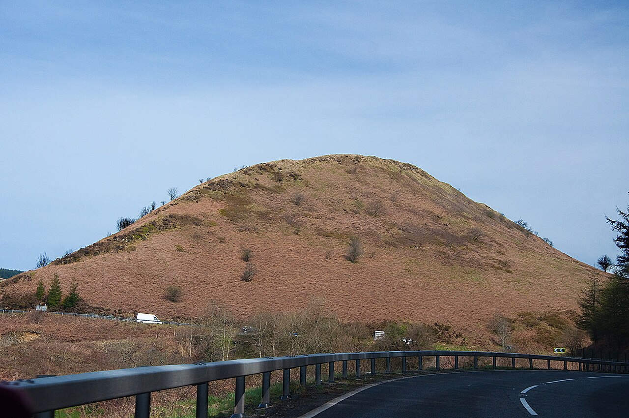
A483 and the Sugar Loaf - geograph.org.uk - 2347503

Routes / Mid Wales

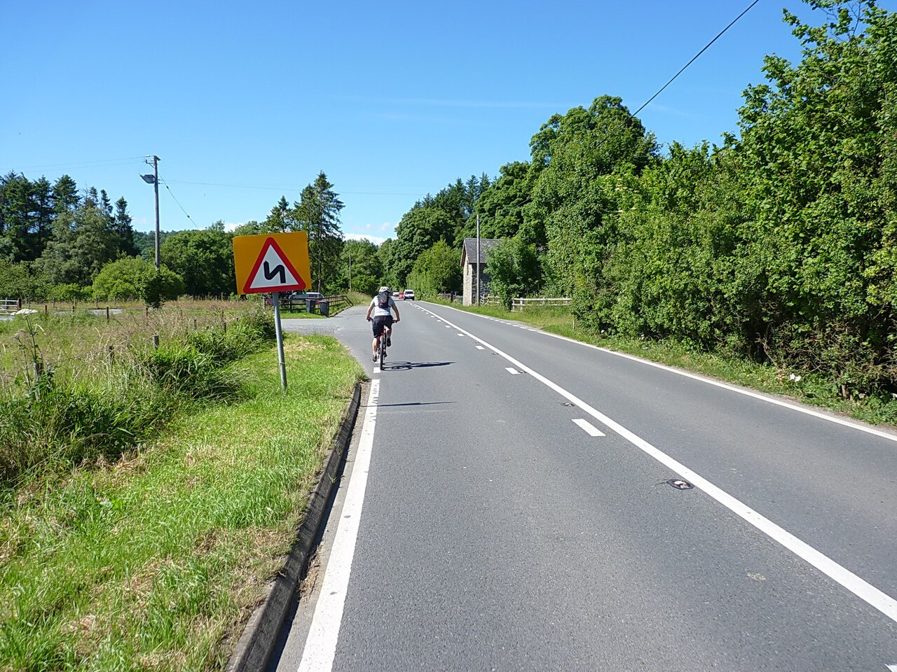
The A483 by the Sugar Loaf

Driving road A483 Llandovery to Builth Wells

Distance23.8mi
Drive time50min
Summit289m
Total climb545m
Limits30–60mph
RegionMid

Driving road Built for driving: well surfaced and rewarding behind the wheel.

The A483 by the Sugar Loaf is the trunk road north from Llandovery over the pass between the Tywi and Irfon valleys to Llanwrtyd Wells and Builth Wells. Our 23.8 mile line tops out at 289 m near the summit beneath the Sugar Loaf. It is part of the Swansea to Manchester Trunk Road, some 153 miles from Swansea to Chester, though here it feels like anything but: forestry, a railway viaduct and open hills.

North of Llandovery the road follows the Bran valley past Cynghordy, where the Cynghordy Viaduct carries the Heart of Wales line across the valley on 18 arches, 33 m high and built on a curve in 1867 and 1868. Cadw lists it at Grade II*. The climb from Cynghordy is the highlight: a sequence of well sighted bends rising through forestry to the summit, with the railway threading its own way through the hills nearby.

The descent into the Irfon valley is quick and flowing. Llanwrtyd Wells grew as a spa town in the nineteenth century and claims to be the smallest town in Britain; it is also home to the World Bog Snorkelling Championships and the Man versus Horse Marathon. Beyond it the road opens out, with long straights and fast curves through Beulah and farmland to the Wye at Builth Wells.

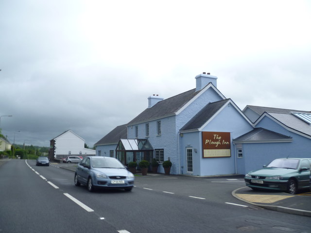
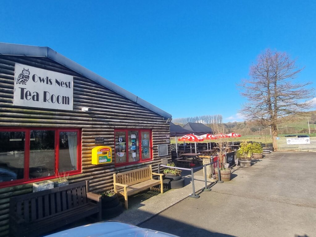
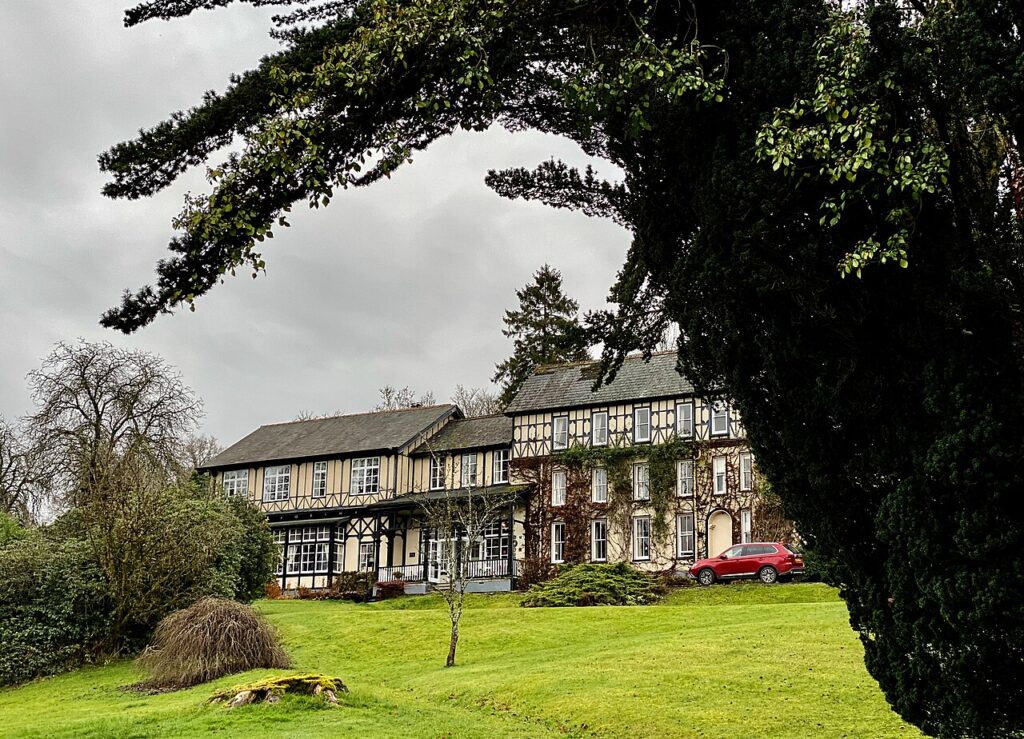
In Llandovery, the West End Café and the Owls Nest are the stops before the climb. Stay at the Lake Country House at Llangammarch Wells, just off the road, or The Plough at Rhosmaen. It pairs naturally with the Abergwesyn Pass from Llanwrtyd and the Epynt ranges road from Builth.

Good to know

  1. 01
    The Sugar Loaf summit has a lay-by with views back down the valley.
  2. 02
    Timber lorries use the forestry sections, so treat blind crests with respect.
  3. 03
    Fuel is available in Llandovery and Builth Wells, with limited options in between.
  4. 04
    As a trunk road, the A483 is covered by Traffic Wales for closures and roadworks.
  5. 05
    Llandovery, Llanwrtyd Wells and Builth Wells are 20 mph through the centre, the Welsh default in built-up areas.

Photo: A483 and the Sugar Loaf – geograph.org.uk – 2347503 by Mick Lobb, CC BY-SA 2.0
The climb

67 m to 289 m · summit at 7.5 mi
Start · 0 miFinish · 23.8 mi

Up top today

Forecast at the summit, 289 m · updated 04:07
Take care

Rain on the top

Drive it, but take the high section gently.

Now
Light rain
Air
6°C
Wind
13mph SW
Road
Wet
Golden hour · This morning

07:18to08:36

Sunrise 07:48 · Likely lost in cloud
  1. Today Take care 6–8°C · wind to 17 mph · 5 mm rain · rain
  2. Tomorrow Give it a miss 3–8°C · wind to 10 mph · 3 mm rain · thick fog
  3. Friday Good day 5–6°C · wind to 14 mph · dry · patchy fog

Forecast from MET Norway, refreshed hourly. Mountain weather turns fast: check before you set off.

The live map

Turns, cameras, viewpoints and stops along the road

Quick answers

How long is The A483 by the Sugar Loaf?
The A483 by the Sugar Loaf is 23.8 miles from Llandovery to Builth Wells and takes about 50 minutes to drive without stopping.
How high does The A483 by the Sugar Loaf go?
It reaches 289 metres (948 feet) at its highest point, with 545 metres of climbing along the way.
What is the speed limit on The A483 by the Sugar Loaf?
Limits along the route are 30–60 mph. Always follow the signs on the road, as Welsh limits can change.
What kind of car suits The A483 by the Sugar Loaf?
We class it as a Driving road. Built for driving: well surfaced and rewarding behind the wheel.
Where should I stay near The A483 by the Sugar Loaf?
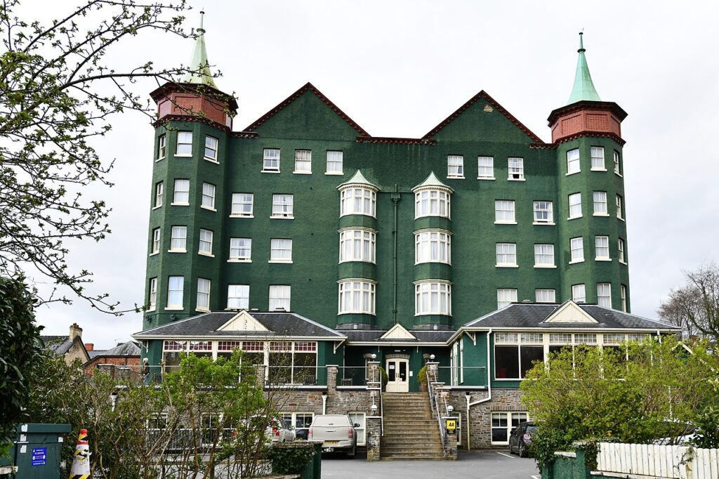
The graded hotels we would choose near this road are The Lake Country House & Spa, The Metropole Hotel & Spa and The Plough, Rhosmaen.
Can you see the Cynghordy Viaduct from the A483?
Yes. The viaduct crosses the Bran valley about 1.5 km north of Cynghordy, close to the A483. It has 18 arches and is Grade II* listed.
How long does it take to drive the A483 from Llandovery to Builth Wells?
Our 23.8 mile line takes about 50 minutes of driving.
Is Llanwrtyd Wells the smallest town in Britain?
It claims to be, with a population of around 850, although Fordwich in Kent has fewer people.
Where can you stop on the A483 Sugar Loaf pass?
There is a lay-by at the Sugar Loaf summit with views back down the valley. Llandovery, at the foot of the climb, has the West End Café and the Owls Nest.

Read more about this road

The Logbook →

Graded hotels within easy reach of the road, the four and five stars first.

Stop along the way

All stops on the map →
A483 by Lower Crochran Farm - geograph.org.uk - 7227355
Next road · Mid Wales

The A483 through the Ithon valley

Crossgates to Newtown · 20.7 mi Drive it next →