The Tal-y-llyn road is the B4405 from the coast at Tywyn up the Dysynni valley to the lake beneath Cadair Idris, joined to the A470 over Bwlch Oerddrws. Our 22.7 mile line runs from Tywyn to Dinas Mawddwy and tops out at 363 m on the Oerddrws, the height usually quoted for the pass. Two very different roads, one quiet and lakeside, one fast and open, make one of the best drives in southern Eryri.
From Tywyn the B4405 follows the Talyllyn Railway, the narrow gauge line that opened to passengers in 1866, inland to the old slate village of Abergynolwyn, built in the 1860s for the quarrymen of Bryn Eglwys.
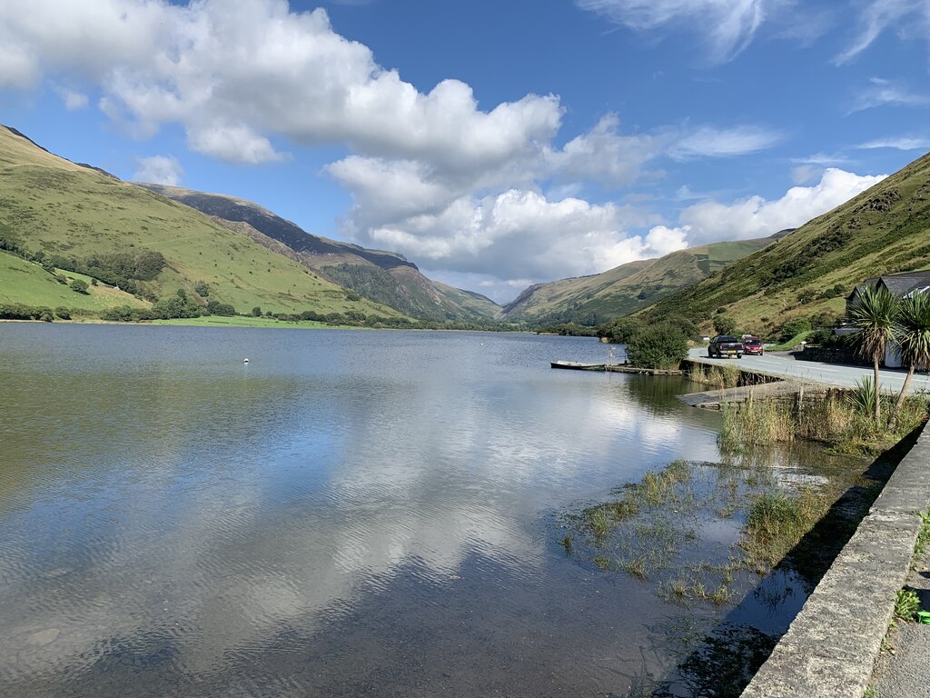
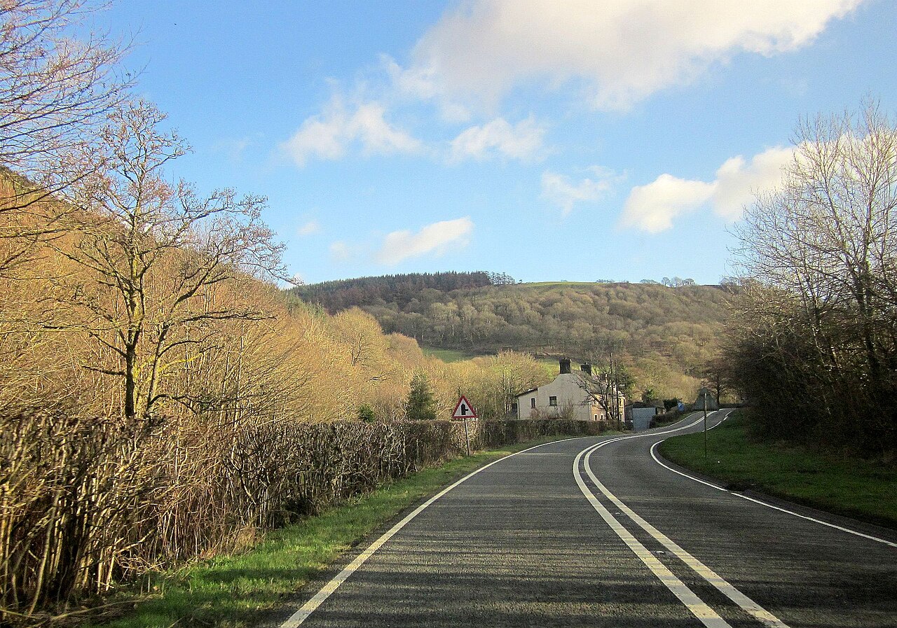
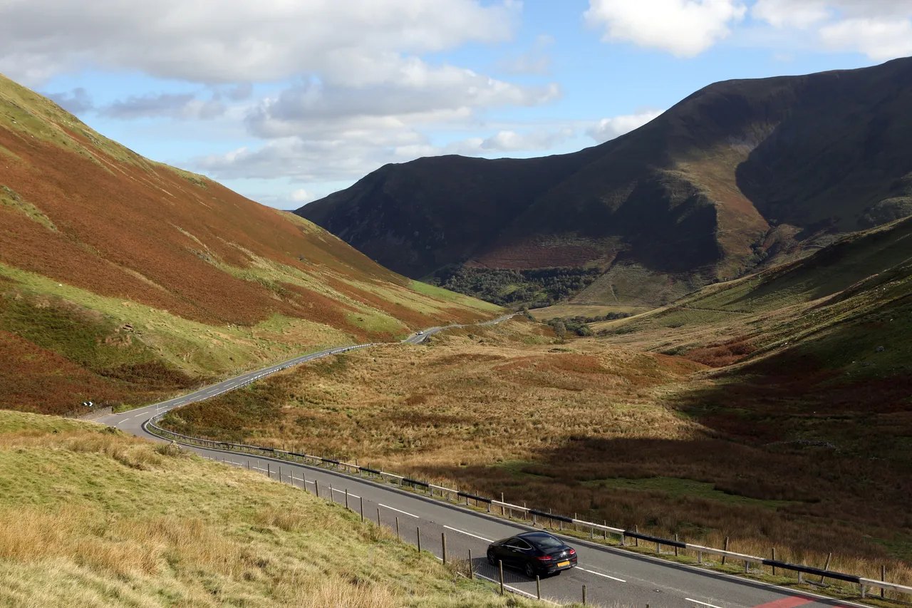
Beyond the village the road runs along the shore of Tal-y-llyn Lake, Llyn Mwyngil in Welsh, a long ribbon lake on the line of the Bala Fault, held back by an ancient landslide beneath the cliffs of Cadair Idris, and climbs to meet the A487. At the Cross Foxes junction turn east on the A470 for the Bwlch Oerddrws, a fast, open pass with sweeping views back over the mountain, before the long descent to Dinas Mawddwy.
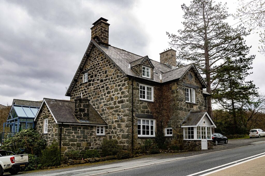
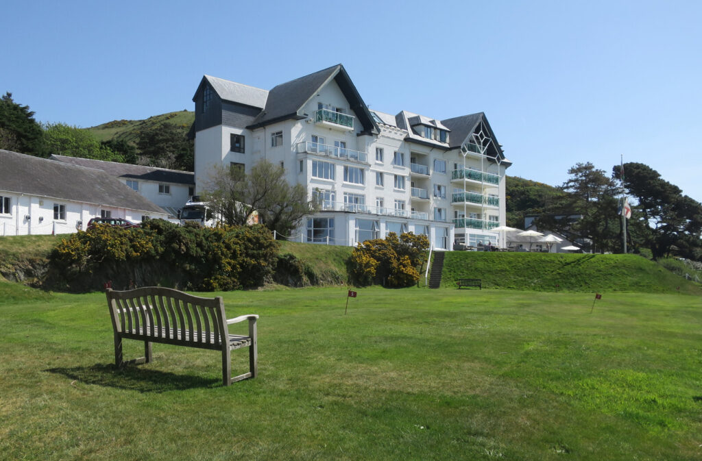
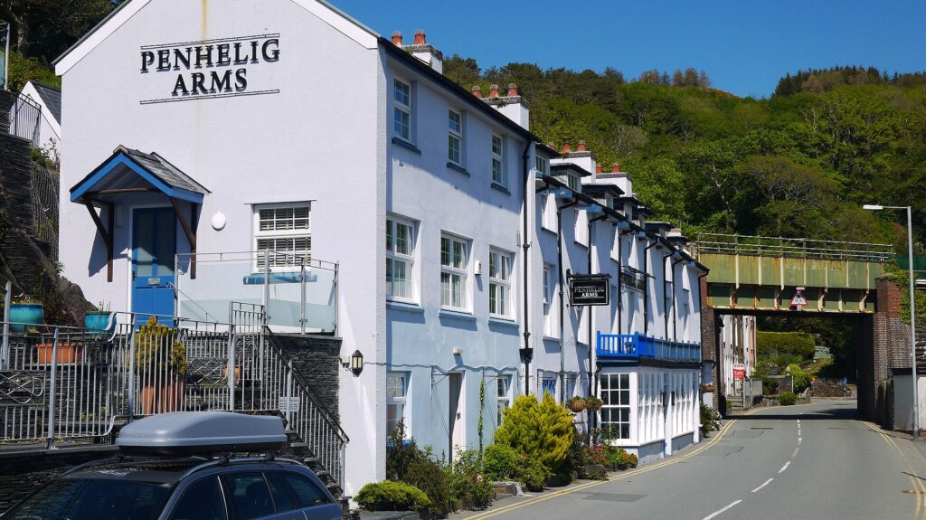
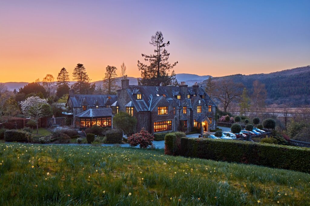
Stay at Dolffanog Fawr, a farmhouse right on the lake, or the Cross Foxes on the junction itself. At the Dinas Mawddwy end, The Firecat at Mallwyd is the place to eat; on the coast, the Penhelig Arms in Aberdyfi. From Dinas Mawddwy, Bwlch y Groes to Bala is right there, and the Dylife mountain road starts at Machynlleth to the south.
Good to know
- 01The B4405 is narrow along the lake and shared with walkers; give cyclists room.
- 02Minffordd car park is the start of the main path up Cadair Idris and fills early.
- 03The A470 over the pass is a trunk road, so closures are on Traffic Wales. The B4405 is a Gwynedd Council road.
- 04We would drive it west to east, so the lake comes first and the pass opens up ahead of you on the climb from Cross Foxes.
- 05Abergynolwyn and Tywyn are 20 mph through the village streets, the Welsh default in built-up areas.
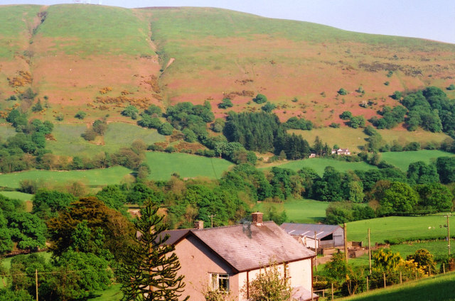
Photo: The A470 at Bwlch yr Oerddrws, © Crown copyright, Visit Wales