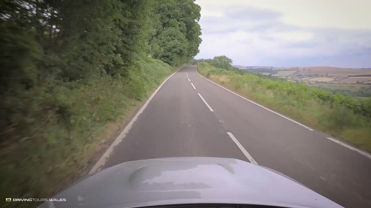
The A44 over Pumlumon is the main road west across the Cambrian Mountains from Llangurig to Aberystwyth, and it is a proper driving road: wide, well surfaced and fast. Our 24.4 mile line tops out at 417 m near Eisteddfa Gurig, which Wikipedia gives as 408 m, the highest point of the A44 anywhere on its run from Oxford. When the road was first numbered in 1923 it ran from Chipping Norton to Aberystwyth, and the stretch east of Llangurig to Rhayader has since become the A470.
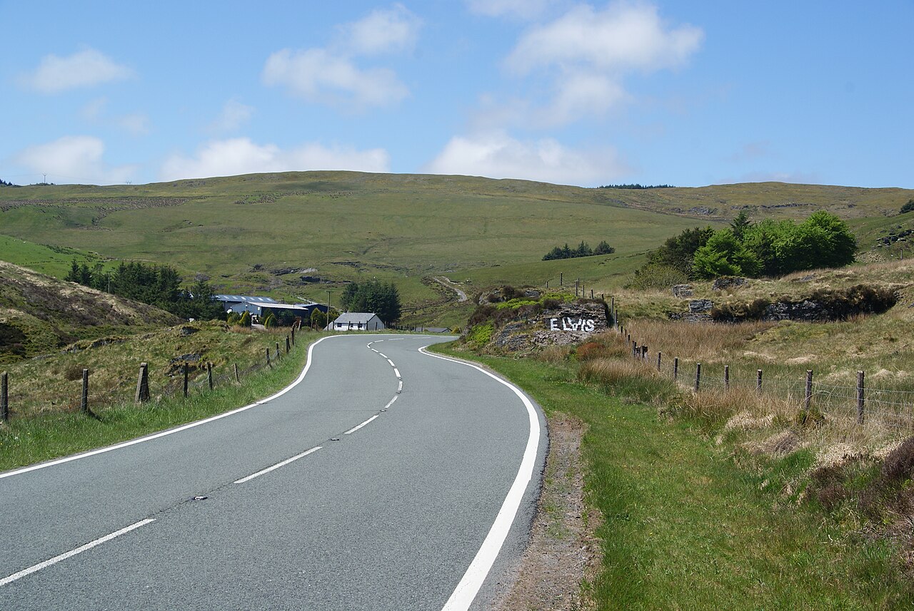
From Llangurig the A44 follows the young River Wye west into the hills, with long open sweepers climbing towards Eisteddfa Gurig on the flank of Pumlumon. This is also where you pass the landmark known as Elvis Rock. Pumlumon, Plynlimon in English, means five tops. At 752 m it is the highest ground in Mid Wales and the source of the Severn, the Wye and the Rheidol.
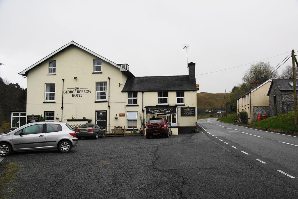
The road crosses the watershed here before dropping through Ponterwyd and the forests of the Rheidol to Aberystwyth on Cardigan Bay. At Ponterwyd, Yr Hen Bont, a steep single-arch stone bridge of the late 18th century, crosses the Rheidol, and The George Borrow is the old drovers’ inn named after the author of Wild Wales. Close to Llangurig is Sweet Lamb, the rally stage and off-road complex in the hills above the Wye.
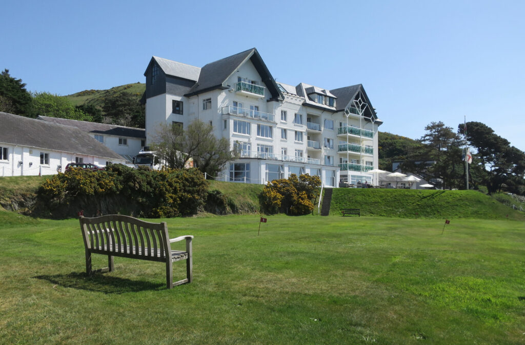
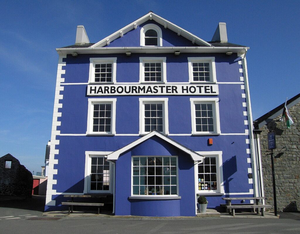
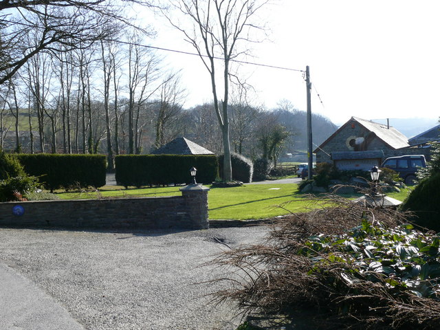
At the end of the road, stay on the Aberystwyth seafront at Gwesty Cymru, or south at the Harbourmaster in Aberaeron or at Ty Glyn in the Aeron valley. At Ponterwyd, the A4120 by Devil’s Bridge is the slower, more dramatic way into Aberystwyth, and from Llangurig the A470 down the upper Wye heads south.
Good to know
- 01A main road with lorries and fast traffic. Overtake only where it’s clear.
- 02The A44 is a trunk road, so closures and roadworks are on Traffic Wales.
- 03Eisteddfa Gurig farm is the start of the walk up Pumlumon.
- 04Combine it with the Elan Valley mountain road via Devil’s Bridge for a loop.
Photo: The A44 approaching Eisteddfa-Gurig – geograph.org.uk – 2972413 by Bill Boaden, CC BY-SA 2.0